Elevation: 7,820 ft
Prominence: 360

This peak is not in the book. Published January 2023
Peak 7820 sits above Giraffe Creek and Salt Basin in the Gannett Hills near the ID/WY state line. This area is a mix of private and public land, so be careful. The closest public access to Peak 7820 is probably from the west, via FST-834 and a lengthy, difficult bushwhack. USGS Giraffe Creek

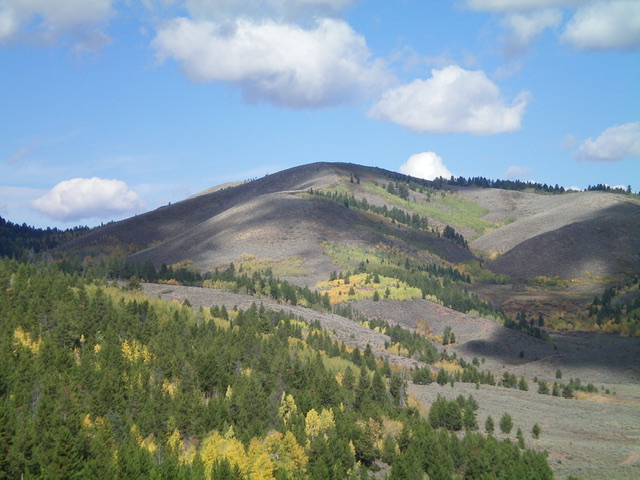
Peak 7820 (dead center) as viewed from Salt Basin to its southeast. The summit hump is hiding behind Point 7777. Livingston Douglas Photo
Access
Same as for Peak 8140. This is the second leg of a 3-peak adventure that includes Peak 8140, Peak 7820, and Peak 7733 (WY).
West Face, Class 2
The Climb
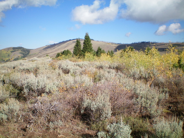
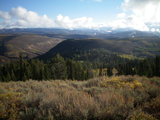
From the 7,460-foot connecting saddle with Peak 8140, bash east then northeast up through very unpleasant aspens and brush to reach open sagebrush that is thick and requires weaving on the steep upper portion of the west face. The summit of Peak 7820 is a sagebrush-covered summit. It had a torn-down cairn so I rebuilt it. It is an open summit with good views of the surrounding area.
East Ridge, Class 2
The Descent
From the summit, follow the ridge crest southeast to a forested saddle. Stay right/southwest of the ridge crest in open scrub (a bit tedious) and go through a small patch of pines/aspens in the saddle. From the saddle, scramble east up through thicker scrub to reach the scrub-covered top of Point 7777. From Point 7777, descend north through thick-ish scrub to find a game trail that heads right/southeast along the edge of an aspen/pine forest. This game trail gets you close to the 7,420-foot connecting saddle with Peak 7733 (WY). The final descent to this saddle is a rough bushwhack through a thick forest of pines, aspens, brush, and blowdown. This saddle is in open scrub and is in the State of Wyoming. It sits at the base of the base of the west face of Peak 7733 (WY) and concludes the second leg of today’s 3-peak adventure. Peak 7733 (WY) is up next.
Additional Resources
Regions: Gannett Hills->SOUTHERN IDAHO
Mountain Range: Gannett Hills
Longitude: -111.0567 Latitude: 42.4635

