Elevation: 7,820 ft
Prominence: 800

This peak is not in the book. Published December 2024
Peak 7820 is a big mountain that sits at the head of Mill Hollow in the Bear River Range. Of the foothills in this area, Peak 7820 is the highest one. The peak is most easily climbed from FSR-444 in Mill Hollow. It still requires a rather miserable bushwhack to reach the top. The south face of Peak 7820 is steep and it towers over Mink Creek. USGS Oneida Narrows Reservoir
Access
Park along ID-36 at the large pullout for the Snow Hollow Trailhead and for [signed] FSR-444. This pullout is at virtual MM17.3 and is at 6,795 feet and 42⁰19’04”N, 111⁰37’11”W. If road conditions permit, drive up FSR-444 as it heads south to Mill Hollow and up Mill Hollow all the way to a sharp left bend (6,920 feet) where the road becomes an ATV trail. An alternate way to cut down on the mileage and elevation gain for this climb is to park along ID-36 near the mouth of Mill Hollow and do a relatively easy bushwhack up Mill Hollow to intercept FSR-444. I used this route on my descent back to the roadside pullout.
Map Errors
The USGS topo map shows a nonexistent trail coming up Mill Hollow from ID-36. The USGS topo map fails to show FST-1270 and FSR-743. The USGS topo map fails to show much of FSR-444. It shows none of the road from Snow Hollow south then southeast to Mill Hollow. It shows none of the road section that climbs from Mill Hollow up to a ridge saddle west of Point 7304 on the east ridge of Peak 7820. These are some major oversights.
East Face/Northeast Ridge, Class 2
The Climb
From the roadside pullout, hike up then down FSR-444 as it heads south-southeast then southwest down to a low area of Mill Hollow. Go right at a signed junction with FST-342/Snow Hollow Trail early on. Continue hiking along FSR-444 for about 2-1/2 miles (from ID-36) to where the road leaves Mill Hollow at a sharp left/southeast bend to climb up to the ridge crest.
Bushwhack up the brushy, forested center of [dry] Mill Hollow to about 7,050 feet. Leave the hollow here and scramble up its right/north side to reach easier terrain. Bash northwest then north up through thick forest with copious deadfall and dense understory to quickly reach open terrain. Bushwhack west up the face in thick-ish brush and a mix of pines, aspens, and maples. This is somewhat difficult but not awful. Push to the crest of the northeast ridge up through a thick band of willows.
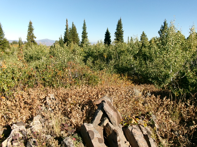
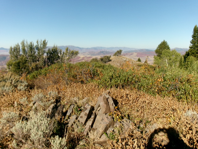
Once on the ridge, begin a horrendously-thick bushwhack up the ridge in willows, brush, aspens, and maples. Reach a tall pine tree in thick brush and willows that seems to be the high point. Continue southeast for another 100 yards or so to reach an open high point that had a small cairn. This is the true high point of Peak 7820 and offers great visibility, albeit with thick willows and aspens nearby.
East Face, Class 2
The Descent
From the summit, descend east to reach Mill Hollow. This bushwhack is rough, with thick willows high up, brush everywhere, dense aspens/maples, and pines (much easier). Stay in the pines whenever possible for the easiest going. The lower section of Mill Hollow has tall, thick scrub but also has an on-and-off game trail to help with the bushwhack back to FSR-444. Cruise down FSR-444 to its low point in Mill Hollow. Leave FSR-444 and follow a cattle trail in the open grass/scrub to reach a pond then another small pond. Angle right-ish up over a minor shoulder then drop 10 feet or so to bushwhack through a short patch of trees and brush and return to ID-36. Walk about ½ mile up ID-36 to the Snow Hollow pullout.
Additional Resources
Regions: Bear River Range->SOUTHERN IDAHO
Mountain Range: Bear River Range
Longitude: -111.6455 Latitude: 42.2876

