Elevation: 7,837 ft
Prominence: 340

This peak is not in the book. Published December 2024
Peak 7837 sits above Skinner Canyon on a ridgeline that towers over the hamlet of Nounan to its east. It is most easily climbed from Skinner Canyon Road. This road is narrow and rocky after you reach the National Forest boundary. A 4WD vehicle with good tires is mandatory. USGS Nounan
Access
From US-30 in downtown Georgetown at the Mormon Church, reset your odometer and head southwest on [signed] West 4thStreet. At 1.3 miles, cross the UPRR tracks. At 2.1 miles, go left/southwest and cross to the west side of Bear River on a bridge. At 4.4 miles, reach the center of the hamlet of Nounanand a 4-way road junction. Skinner Canyon Road/FSR-403 (signed) begins at this junction.
Reset your odometer here. At 1.7 miles, reach the Cache National Forest boundary at a cattle guard crossing. At 2.8 miles, reach a decent pullout at a culvert crossing of a major feeder stream at a fork in the canyon. Park here (6,980 feet and 42⁰28’06”N, 111⁰30’18”W). If possible, drive farther up this rugged road to shorten the climb. Drive all the way to a 7,497-foot saddle (map) that is due west of Peak 7837 and park.
South Shoulder/West Face, Class 2+
The Climb
From the roadside pullout (6,980 feet), bushwhack north across Skinner Creek. Skinner Creek is a small stream above its confluence with the large feeder stream. Once across the creek, move downstream slightly and skirt the bottom of a steep talus face to reach steep scrub and scree to its right/east. Scramble north then northeast on a ridge crest to reach the top of gentle Point 7446. This scramble goes at Class 2+ and is quite steep and loose (mostly scree) but it goes reasonably well and has some game trails to help with footing.
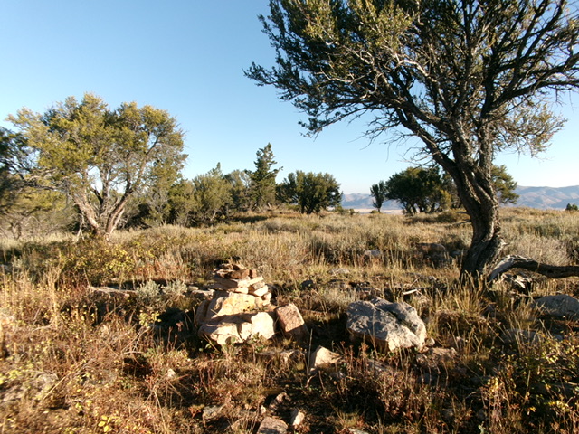
From Point 7446, head north then north-northwest up a broad shoulder in open grass/scrub and some scattered trees to approach Point 7625. Head right-ish/northeast before reaching Point 7625 and descend slightly into a pine forest to cross the head of a major gully at a wide saddle. This saddle is thick with pines, deadfall, and brush. Bushwhack east to eventually reach an open grass/scrub slope that is the west face of Peak 7837. Scramble up the face and enter an easy pine forest higher up. Upon reaching the summit ridge, head right/south briefly to reach the cairned high point in open terrain. The cairn seems to be on the high point of the flat, elongated summit area.

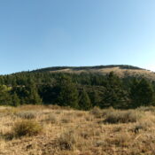
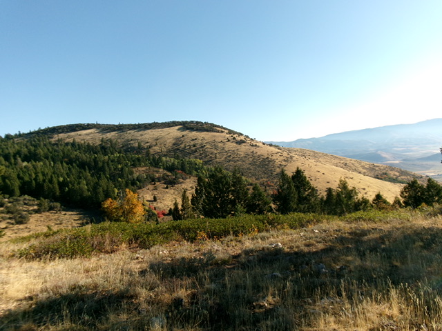
Peak 7837 (summit is on the high ridge, left of center) and its beautiful, grassy southeast ridge (skyline right of center). This is an alternative ascent route. Livingston Douglas Photo
Additional Resources
Regions: Bear River Range->SOUTHERN IDAHO
Mountain Range: Bear River Range
Longitude: -111.4961 Latitude: 42.4809

