Elevation: 7,965 ft
Prominence: 355

This peak is not in the book. Published December 2024
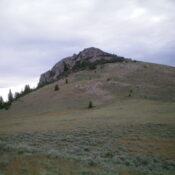
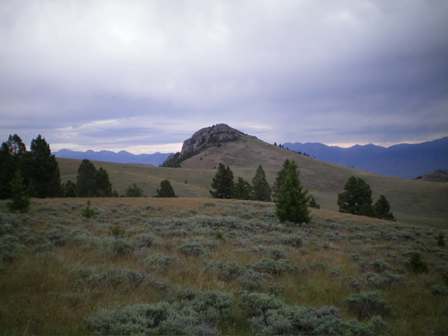
Peak 7965 and its neighbor Peak 7967 are two rocky, rugged foothills in the Pahsimeroi Mountains. They are best climbed together from a BLM road to the south. Peak 7965 is the northern of the two peaks and sits above the west side of the Pahsimeroi Valley. USGS Mahogany Hill
Access
Unsigned BLM-114 is located along Doublespring Road (0.2 miles north of the major junction of Donkey Hills Road and Doublespring Road). Drive west then southwest on BLM-114 (a decent 2-track road with a gravel/rock base). At 1.1 miles, reach an unsigned junction with an unmapped 2-track road heading right/west. Continue straight/southwest on BLM-114. At 1.9 miles, reach a signed, 4-way road junction. Park/camp here (7,000 feet and 44⁰21’20”N, 113⁰49’23”W). This is the first leg of a 2-peak adventure that includes Peak 7965 and Peak 7967. It covers 7.0 miles with 1,775 feet of elevation gain round trip.
Map Errors
There are many unmapped 2-track roads in this area to help and/or confuse you.
South Ridge, Class 2
The Climb
From the road junction, hike northwest up a 2-track onto a bench and soon merge with the primary 2-track road on this bench (this unmapped bench road comes west up from the aforementioned road junction at the 1.1-mile point on BLM-114). Go left/west-northwest at this unsigned junction and follow the 2-track road west-northwest then northwest as it heads up a dry gully and crosses a ridge. The 2-track then drops steeply to cross a major gully/drainage. The road is pretty rocky and rough here, even for hikers.
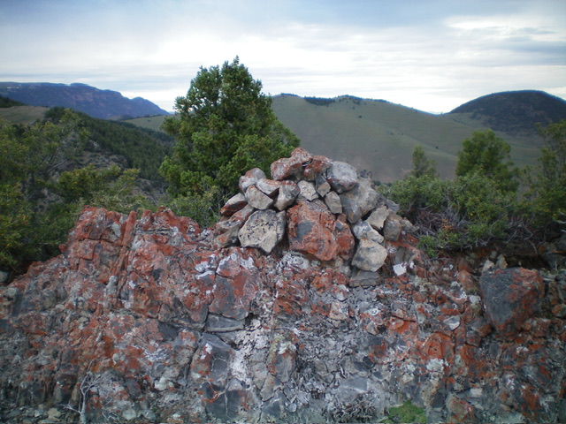
From the gully crossing, the 2-track continues north then northwest to reach an unsigned junction at 7,475 feet (shown on the USGS map). Go right/north here onto a weak, overgrown 2-track that crosses a dry gully just below the south ridge of Peak 7965. Leave this 2-track when it reaches the head of a gully that sits at the base of the south face/ridge of Peak 7965. Bushwhack north up a scrub slope that becomes a ridge of scrub and mountain mahogany. Follow the east side of the ridge crest of mountain mahogany and rocky outcrops to the small summit, which is reasonably open. The mountain mahogany is gapped and the ridge rock is easy. I built a nice cairn atop the highest ground boulder.
Southwest Face, Class 2
The Descent
From the summit, descend south then southwest on the left/east edge of the thick mountain mahogany and cliffy rock bands on the southwest ridge proper. Stay in open scrub and quickly reach a saddle at 7,610 feet. This is the low point in the connecting ridge from Peak 7965 and Peak 7967. It concludes the first leg of today’s 2-peak journey. Peak 7967 is up next.
Additional Resources
Regions: EASTERN IDAHO->Lost River Range->Pahsimeroi Range
Mountain Range: Lost River Range
Longitude: -113.8453 Latitude: 44.3831


