Elevation: 7,967 ft
Prominence: 310

This peak is not in the book. Published December 2024
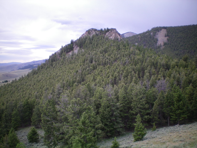
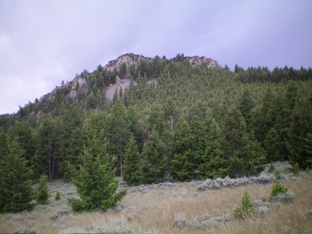
Peak 7967 and its neighbor Peak 7965 are two rocky, rugged foothills in the Pahsimeroi Mountains. They are best climbed together from a BLM road to the south. Peak 7967 is the southern of the two peaks and sits above the west side of the Pahsimeroi Valley. USGS Doublespring
Access
Same as for Peak 7965. This is the second leg of a 2-peak adventure that includes Peak 7965 and Peak 7967. It covers 7.0 miles with 1,775 feet of elevation gain round trip.
Map Errors
There are many unmapped 2-track roads in this area to help and/or confuse you.
Northwest Ridge, Class 2+
The Climb
From the 7,610-foot connecting saddle with Peak 7965, head southwest then south through short grass/scrub and across several ridge humps/boulders to reach the bare saddle at the base of the northwest ridge of Peak 7967. Scramble southeast up through an easy pine forest on the left/northeast side of the ridge crest, skirting a few imposing, massive ridge towers. Reach a notch in the ridge between the two highest ridge towers and climb right/south up through a steep pine forest with some downed timber to work around/over.
Higher up, the ridge crest is clogged with thick mountain mahogany. Skirt the ridge crest and angle left/south to reach the high point of Peak 7967, which is the southeast of the two potential rock-and-brush high ridge points here. Bash through thick mountain mahogany and ridge rock/blocks to reach the small summit. I built up the summit cairn considerably.
Northeast Face, Class 2+
The Descent
From the summit, return to the ridge notch then descend northeast down through the steep but easy pine forest to open terrain. Reach an unmapped 2-track road. Head right/south on this road and soon intercept the ascent 2-track for Peak 7965. Go right/southeast on this 2-track road and follow it back to the road junction and your parked vehicle.
Additional Resources
Regions: EASTERN IDAHO->Lost River Range->Pahsimeroi Range
Mountain Range: Lost River Range
Longitude: -113.8471 Latitude: 44.3666


