Elevation: 7,980 ft
Prominence: 720

This peak is not in the book. Published November 2022
Peak 7980 separates Panther Gulch from North Fork Deer Creek. It is most easily climbed from Deer Creek Road but can also be climbed via its steeper west side from North Fork Deer Creek Road. USGS Mahoney Butte
Access
From Albertson’s at the north end of Hailey, drive north on ID-75 for 1.9 miles to a signed junction with Deer Creek Road/FSR-097. Turn left/west onto Deer Creek Road and drive 9.6 miles to a signed junction with North Fork Deer Creek Road/FSR-103 Park here (6,010 feet). This junction is located 0.3 miles before reaching the end of Deer Creek Road.
Southwest Ridge, Class 2
The Climb
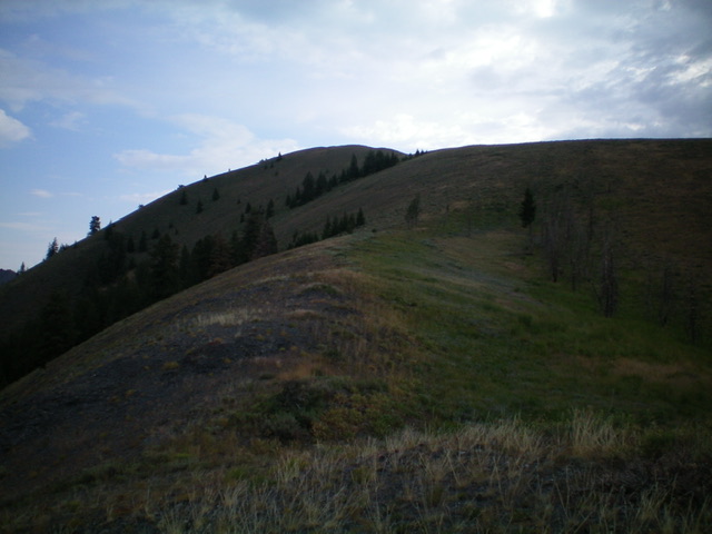
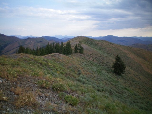
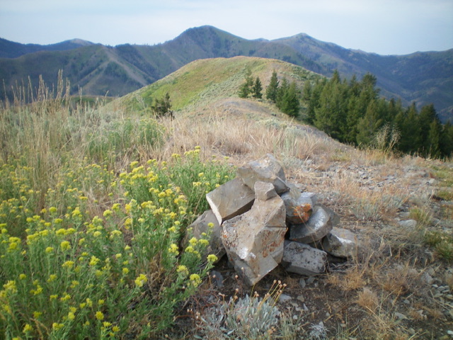
From the road junction, scramble northeast up the obvious ridge through a mix of field grass and scattered sagebrush. The ridge is open and rounded but it bends and wiggles a bit, first to the right then back to the left then back to the right to climb up a face of scrub to reach the upper ridge. Once on the upper ridge, head left/north up to a false summit hump (Point 7938). From there, drop 30 feet and continue up through easy scrub to reach the true summit. The summit of Peak 7980 has a modest cairn.
The terrain on the southwest ridge is a mix of veg and underlying scree/gravel. The descent is fast due to loose dirt/gravel in the veg, especially in the bottom half of the ridge. The ridge is somewhat steep but is not too bad. It is a steady uphill grind (not too loose) and the veg is either short or workable. There are a few areas of shale to cross and a few minor rocky ridge outcrops to deal with but nothing serious.

Looking up the southwest ridge of Peak 7980. The summit is not yet in view. Livingston Douglas Photo
Additional Resources
Regions: Smoky Mountains->WESTERN IDAHO
Mountain Range: Smoky Mountains
Longitude: -114.48639 Latitude: 43.54269

