Elevation: 7,997 ft
Prominence: 280

This peak is not in the book. Published November 2024
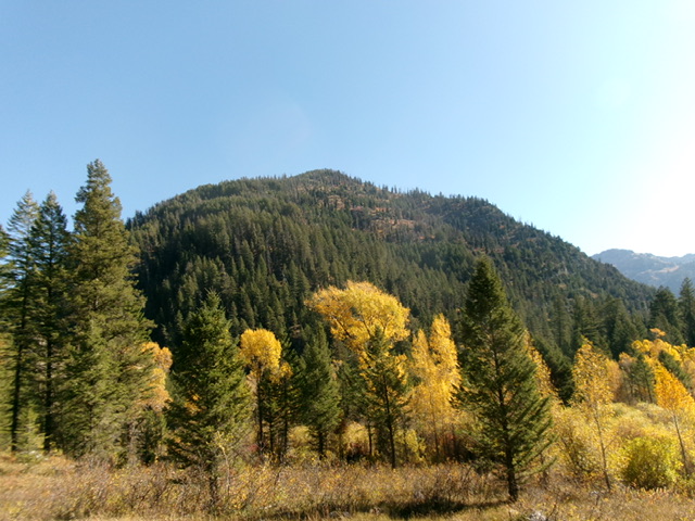
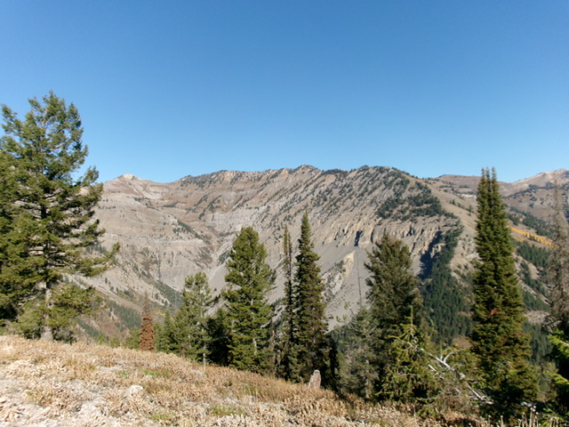
Peak 7997 sits on the forested west ridge of Powder Peak (9,862 feet). It towers over the convergence of Dry Canyon and Big Elk Creek. Peak 7997 is most easily climbed via its west ridge from the Dry Canyon Trail. USGS Mount Baird
Access
From US-26 near Palisades Reservoir at virtual MM391.2, drive east up [signed] Big Elk Creek Road/FSR-262 for 1.9 miles to its end at a large trailhead parking area. Park here (5,680 feet).
Map Errors
The signed trail junction for FST-125/Dry Creek Trail (along FST-097/Big Elk Creek Trail) is farther north than is shown on the USGS topo map. FST-107/Corkscrew Trail is mostly gone and/or is buried under fallen trees. It is difficult to follow and has no signage or merger into FST-125/Dry Creek Trail on the valley floor. Be prepared for a fording of Big Elk Creek and a steep, thick bushwhack up the west ridge of Peak 7997. FST-125 is not well maintained anymore and is more of a cattle trail. Contrary to one climber’s report, there are no downed trees across Big Elk Creek (and no footbridge either). The creek must be forded.
West Ridge, Class 2+
The Climb
From the trailhead parking area, hike northeast up FST-097/Big Elk Creek Trail for about three miles to a signed trail junction with FST-125/Dry Creek Trail just past a major fork in the canyon. Big Elk Creek Trail has lots of ups and downs (385 feet of extra elevation gain round trip). From the trail junction, head right onto FST-125 and drop to Big Elk Creek. Ford the creek and follow a foot trail southeast briefly up Dry Canyon.
Find a nice campsite near the creek crossing and look for the remnants of FST-107 about 75-100 yards south-southeast of the campsite at the base of the steep southwest face of Peak 7997 in a semi-open pine forest with grass/scrub. The bottom of the trail is quite visible but it is nowhere near FST-125 anymore. FST-107 is a good 100-150 yards north of FST-125 through a brushy, grassy patch of pine forest. Once on FST-107, follow it steeply uphill as it switchbacks up the very steep southwest face.
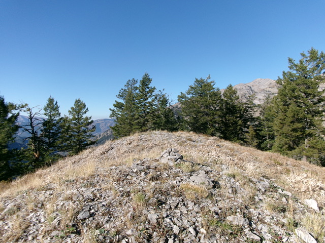
The old, unmaintained trail soon gets buried in downed trees and is difficult to follow. Some of the switchbacks are very short in length. However, it still beats bushwhacking up this steep slope of deadfall and brush. Work hard to stay on the remnants of the old trail. At about 7,100 feet, the trail just disappears into the brush and deadfall on the right/south side of the west ridge. Scramble north up through semi-open scrub to reach the crest of the west ridge. The ridge crest is steep but easy in some areas. In other areas, there are large, downed trees to climb over or skirt and the scrub is thick.
Additional Resources
Mountain Range: Big Hole and Snake River Mountains
Longitude: -111.04893 Latitude: 43.34785


