Elevation: 8,115 ft
Prominence: 316

This peak is not in the book. The map elevation is 8,101 feet. Published December 2024
Newly-ranked Peak 8115 is the high point on a ridgeline that separates Coal Creek from East Basin Creek in the Eastern Salmon River Mountains. It is most easily climbed from a rugged Jeep/ATV trail in the Coal Creek drainage and a ridge climb from there. USGS East Basin Creek

Peak 8115 (dead center) as viewed from the southeast. The south ridge is the skyline left of center. The summit hump is not visible from here. Livingston Douglas Photo
Access
From ID-75 a few miles west of Sunbeam, drive west up Basin Creek Road/FSR-034 for 0.6 miles to a signed junction with Coal Creek Road/FSR-132. Park at a dispersed campsite at this junction (6,130 feet and 44⁰16’09”N, 114⁰49’43”W. Or you can be foolish (as I was) and drive 0.4 miles up narrow, rugged Coal Creek Road and park in a minor pullout (6,315 feet and 44⁰16’28”N, 114⁰49’27”W).
Map Errors
The National Forest map fails to show the full extent of Coal Creek Road. It goes farther north up the Coal Creek drainage than the map shows and continues southwest up to a high ridge and then follows the ridge northward (on its east side) from there. The USGS topo map inaccurately shows another jeep trail heading north up the Coal Creek drainage from the sharp left/west bend in the road at the gated closure. No such road exists. The USGS topo map mis-positions the actual jeep/ATV trail higher up and shows a ridge road/trail coming up from the west side that does not exist.
East Face/South Ridge, Class 2
The Climb
From the improvised roadside pullout along Coal Creek Road, hike north up Coal Creek Road for about a mile to a sharp left/west bend where the road crosses Coal Creek and has a seasonal gated road closure. Continue west then southwest up the steep 2-track to a sharp left/south bend where the road does about ½ mile of needless wandering. Leave the road here and bushwhack northwest up a steep, grassy, forested shoulder to reach the south ridge. Higher up, intercept the 2-track road and follow it briefly right/north.
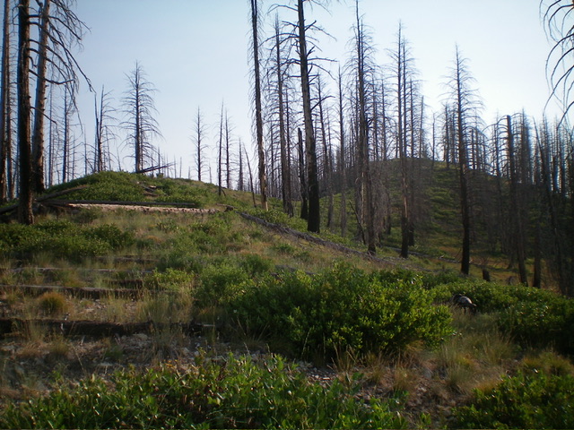
Leave the road and bushwhack left/west through blowdown and pine forest to quickly reach the open crest of the south ridge. Scramble steeply up the ridge in a mix of scrub, blowdown, and a few rocky areas to intercept the 2-track road as it comes up to the crest from the east side of the ridge. Follow the road up to Point 7800+ and continue along it as it descends 90 vertical feet down the west side of the crest to a saddle. Stay on the road as it heads up the ridge to a bluff on the crest and permanently leaves the ridge to follow the east side of the mountain to God-knows-where.
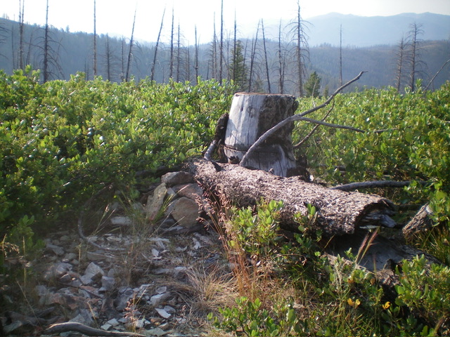
Leave the road on this bluff and descend 30 vertical feet on the semi-forested ridge crest amidst a lot of blowdown and thick scrub (including willows). Continue north then northeast up the ridge over a couple of false summit humps in unending downed timber, tree stumps, and patches of willows to reach the summit hump. The summit of Peak 8115 has lots of willows, cut-down trees, and tree stumps. I built a small cairn next to the cut tree stump that is the high point.

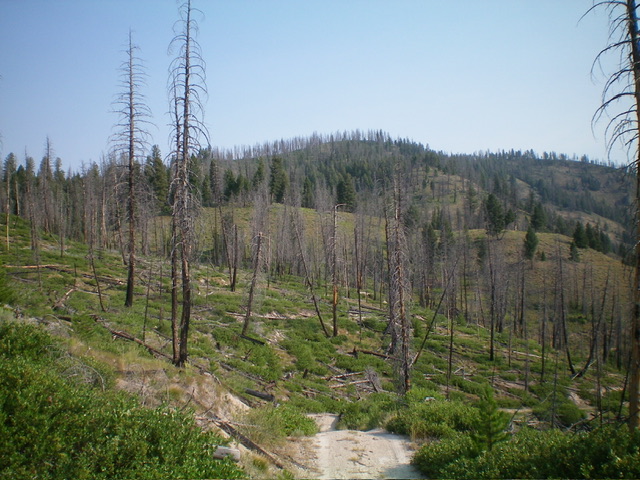
The elusive summit hump of Peak 8115 (right of center) as viewed from high on the south ridge. This was my ascent route. Livingston Douglas Photo

The brushy summit of Peak 8115, its tree-stump high point, and summit cairn. Livingston Douglas Photo
South Ridge/East Face—Road Route, Class 2
The Descent
From the summit, return south to the road crossing on the bluff. Follow the old jeep road back to Point 7800+. After Point 7800+, the road soon exits the ridge, descends the forested east side of the ridge, and does a few switchbacks (2) to return to my departure point from earlier in the day. Continue down the road to Coal Creek and then down Coal Creek to the parking pullout. This descent route is much more of a road hike than the ascent route. However, it is about a mile longer. Choose your poison.
Additional Resources
Regions: Eastern Salmon River Mountains->Salmon River Mountains->Southeast Corner Peaks->WESTERN IDAHO
Mountain Range: Eastern Salmon River Mountains
Longitude: -114.82526 Latitude: 44.30412