Elevation: 8,180 ft
Prominence: 560

This peak is not in the book. Published November 2023
Double-humped Peak 8180 is located south of Diamond Flat in the Webster Range. It is a thickly-forested peak that is most easily climbed from FSR-107 to its east. The south summit hump is the high point. USGS Diamond Flat

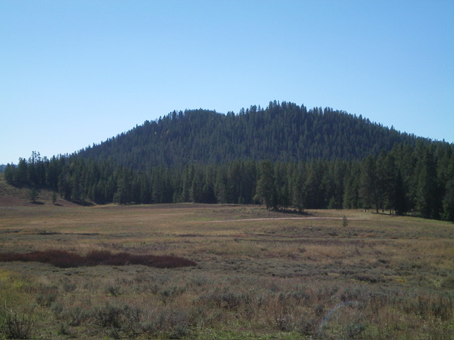
Peak 8180 as viewed from Diamond Flat to its northeast. The summit hump is left of center. Livingston Douglas Photo
Access
From ID-34, turn south onto [unsigned] Lanes Creek Cutoff Road. This unsigned junction is located 12.7 miles west on ID-34 from its eastern terminus and 5.5 miles west of the South Fork Trailhead parking area. Drive south (then southwest then south) on Lanes Creek Cutoff Road for 3.1 miles to an unsigned junction with FSR-107/Lander Cutoff Road. Turn left/east onto FSR-107 and reset your odometer. At 6.1 miles, cross Flat Creek. At 9.9 miles, park in a pullout/campsite on the left/east side of the road before the road encounters mudholes and rougher terrain. This pullout is at 7,350 feet and 42⁰50’47”N, 111⁰12’33”W. The pullout is at the southeast end of Diamond Flat.
East Face/North Ridge, Class 2
The Climb
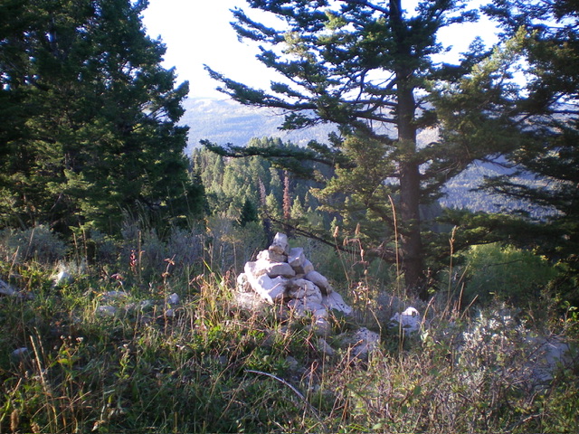
From the parking pullout, head southwest across a grassy field on the left/south edge of the forest to reach the pine forest at the base of the east face. Bushwhack southwest up through the pine forest and work through some deadfall and brush. Reach the 7,860-foot ridge saddle that separates the north summit from the [higher] south summit. From the saddle, scramble south then southwest to the semi-open summit. The summit of Peak 8180 had a modest cairn which I built up significantly. Although not far from FSR-107, the bushwhack up the east face is a bit tedious and more time-consuming than one would expect.
Additional Resources
Regions: Peale Mountains->SOUTHERN IDAHO->Webster Range
Mountain Range: Peale Mountains
Longitude: -111.2202 Latitude: 42.8346

