Elevation: 8,184 ft
Prominence: 305

This peak is not in the book. The map elevation is 8,170 feet. Published December 2024
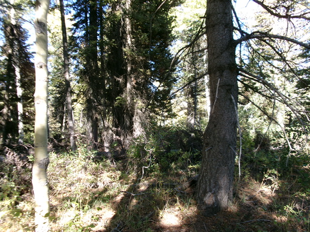
Thanks to LiDAR, Peak 8184 is now a ranked summit. It is a thickly forested, rounded hump that sits above Moonlight Meadow. Peak 8184 separates the Middle Fork North Creek from the South Fork North Creek. It is most easily climbed from either FST-443 on its north side or FST-442 on its west side. USGS North Canyon
Access
From the junction of US-89 and ID-36 in Ovid, drive west on ID-36 for 8.0 miles, just passing the hamlet of Sharon, ID. Turn right/north onto North Canyon Road/FSR-425 (signed for an obsolete Boy Scout Camp) and drive 5.7 miles to a signed junction with FSR-951/South Fork Road on the left/south side. Park at this road junction (7,410 feet and 42⁰23’43”N, 111⁰34’13”W) . North Canyon Road/FSR-401 is a maintained dirt road that gets narrow as you drive farther up the road.
East Face, Class 2
The Climb
From the road junction, hike briefly southwest up [rugged] FSR-951. Leave it to bushwhack west up through a dense pine forest with thick understory and endless deadfall. Reach a ridge crest in semi-open forest. Bushwhack left/southwest to reach the thickly-forested, brushy summit area. The high point is not obvious. Wander around a bit to satisfy yourself that you have stood on the high point. There are no views from the top. There were no signs of previous ascent.
Given how punishing the bushwhack up the east face turned out to be, I took a different line down the east face and it worked out well. From the summit, descend east and find much more open scrub areas amidst the pine forest. The forest itself had less deadfall and easier understory as well. Reach FSR-951 about ¼ mile above, and southwest of, the road junction. Walk briefly down the road to the road junction and your parked vehicle.
Additional Resources
Regions: Bear River Range->SOUTHERN IDAHO
Mountain Range: Bear River Range
Longitude: -111.58466 Latitude: 42.39360
