Elevation: 8,245 ft
Prominence: 425

This peak is not in the book. Published November 2024
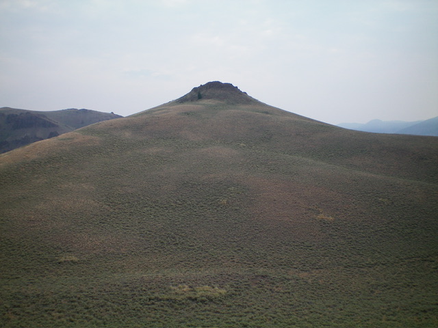
Peak 8245 towers over the North Fork Big Lost River to its southwest. It separates the Grasshopper Creek drainage from the Deep Creek drainage in the Boulder Mountains. Peak 8245 is most easily climbed via its southwest side from the mouth of the Grasshopper Creek drainage. USGS Herd Peak
Access
North Fork Big Lost River Road/FSR-128 [(B)(2) on Page 242 of the Book]. From Trail Creek Road, drive 3.8 miles northwest up North Fork Big Lost River Road to an unsigned junction with a spur road (left) that is just before reaching a sign for Grasshopper Creek (right). Park at this junction/campsite (7,250 feet and 43⁰55’53”N, 114⁰11’22”W).
West Ridge, Class 2
The Climb
From the road junction, cross to the east side of FSR-128 and bushwhack northeast through thick-ish sagebrush in a flattish area. Then scramble left/north up a steep sagebrush slope to reach the crest of the west ridge. Once on the ridge crest, head east up this steep ridge. Skirt scattered pines and minor rocky outcrops to reach a patch of thicker pine forest on the northwest side of Point 8135. Bushwhack left-ish/east-northeast through a reasonable pine forest on terrain that is not too angled.
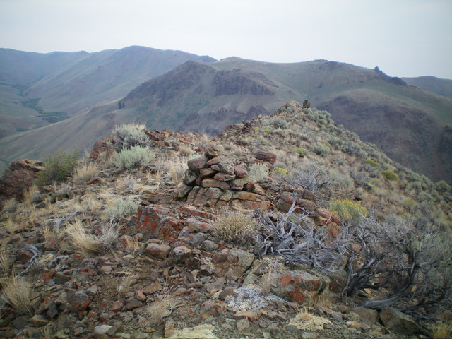
Reach open sagebrush and a high ridgeline just northeast of Point 8135. Descend about 100 vertical feet to a sagebrush saddle. Continue northeast up through sagebrush (sometimes thick and tedious). Scramble east up a gravelly chute to the summit of Peak 8245, which sits on a ridge crest. The high point has a small cairn and two more cairns along the ridge crest to the north. I built up the high point cairn substantially. The other cairns are on slightly lower ridge points.

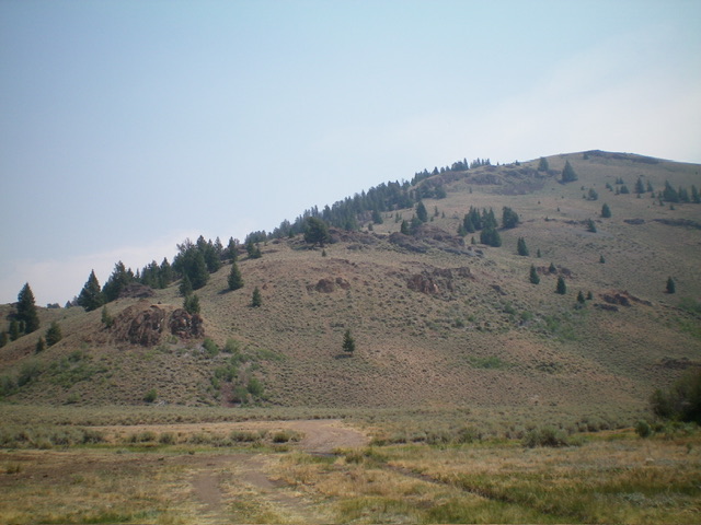
The lower section of the west ridge as viewed from North Fork Road. Point 8135 is on the ridgeline at far right. Livingston Douglas Photo

The multi-cairned summit of Peak 8245, looking north. The nearest cairn is the high point. Livingston Douglas Photo
Additional Resources
Regions: Boulder Mountains->EASTERN IDAHO
Mountain Range: Boulder Mountains
Longitude: -114.1703 Latitude: 43.9357
