Elevation: 8,250 ft
Prominence: 750

This peak is not in the book. The name was proposed by Rick Baugher. Published December 2024
Peak 8250 sits on a high ridgeline above Bradbury Flat and above the Salmon River to its west. It is most easily climbed from a 2-track road that comes up from Lone Pine Road to its north. This area is a mix of private and public land, so be careful. This climb is entirely on BLM land. USGS Bradbury Flat

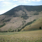
The flat, forested north ridge of Peak 8250 (skyline right of center) and its forested northwest spur (skyline left of center). This was my ascent route. Livingston Douglas Photo
Access
From US-93 just over two miles south of Challis and just south of the bridge crossing of the Salmon River, turn right/south onto [signed] Corrigan Road and reset your odometer. At 1.5 miles, reach a signed junction with Lone Pine Road. Turn left/southeast onto Lone Pine Road. At 2.9 miles, reach a large parking/turnaround area. Park here (5,255 feet and 44⁰26’05”N, 114⁰12’13”W). This is the first leg of a 2-peak adventure that includes Peak 8250 and Germer Peak (7,684 feet). It covers 10.0 miles with 4,000 feet of elevation gain round trip.
Map Errors
Maps fail to show the full extent of the 2-track road coming up from Bradbury Flat to Bishop Spring and beyond. They also fail to show a 2-track road up on the northwest ridge of Peak 8250.
West Face/North Ridge, Class 2
The Climb
From the parking/turnaround area, hike briefly south on Lone Pine Road to near the private ranch entrance. Leave the road and cross to the right/west side of a cattle fence and follow a cattle trail briefly to intersect an old 2-track road heading southwest. Hike up the old, rocky road as it meanders its way generally south-southwest to Bishop Spring (on map). There is a faint side road (heading right/southwest) to Bishop Spring. Continue hiking up the main 2-track road briefly up to a sharp left/southeast bend.
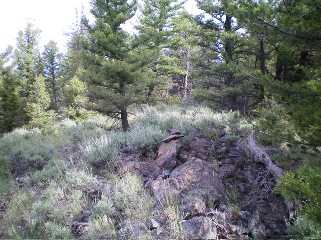
Contrary to maps, the road continues southeast up to a ridge saddle at 7,340 feet. Leave the road at the sharp bend (7,000-7,050 feet) and scramble left/east up a steep but easy slope of open grass and scrub. This slope leads up to the forested crest of the northwest spur of the north ridge of Peak 8250. As you approach the ridge crest, weave up through some scattered pines and blowdown. The terrain becomes increasingly rocky as you gain elevation.
Once on the ridge crest, follow the forested ridge crest southeast to Point 8142. Stay either on the ridge crest or on its right/southwest side for the easiest going. This is a forest bushwhack with no rocky outcrops. From Point 8142, descend 30 vertical feet south on the ridge crest and hike ½ mile south in semi-open terrain to reach the forested summit of Peak 8250. The narrow ridge crest has pines and blowdown to skirt in order to reach the summit, but nothing too difficult.
West Face/Northwest Ridge, Class 2
The Descent
From the summit, descend ¼ mile north on the north ridge then bushwhack left/west down through the thick-ish pine forest (with a rocky base) to find the open west shoulder and then the open northwest ridge. If you are far enough north, you will see the west shoulder to your left when you reach 7,700 feet. It will be to your left/south. Once on the open shoulder, follow a cattle fence west then northwest down to a 2-track road coming up to the ridge from Bishop Spring and Bradbury Flat and reaching the ridge crest at a minor saddle at 7,340 feet.
There is a rocky 2-track road (not shown on maps) on the right/north side of the cattle fence to make this descent a fast one. From the saddle, continue to follow the fence row on a cattle trail almost all the way to the 7,140-foot ridge saddle underneath Germer Peak. The fence row leaves the northwest ridge as it approaches that saddle. Leave the fence row and stay on the easy grass/scrub on the open ridge to descend to the saddle. The 7,140-foot connecting saddle is the conclusion of the first leg of today’s 2-peak journey. Germer Peak is up next.

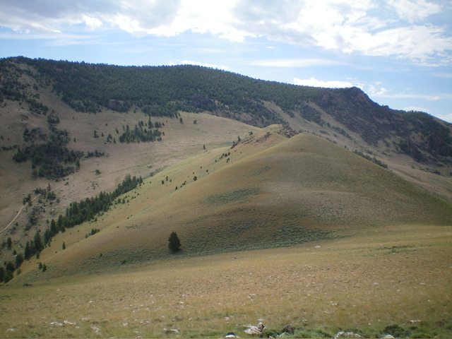
The gentle, grassy humps (right of center) of the northwest ridge lead up to the forested west face. This was my descent route. Livingston Douglas Photo
Additional Resources
Regions: Boulder Mountains->EASTERN IDAHO
Mountain Range: Boulder Mountains
Longitude: -114.2150 Latitude: 44.3888
