Elevation: 8,273 ft
Prominence: 312

This peak is not in the book. Published December 2024
Thanks to LiDAR, Peak 8273 is now a ranked summit. It sits on a high ridgeline east of US-30 several miles north of Montpelier. Peak 8273 is publicly accessible via its south from US-89 or via its southeast from Home Canyon Road. The west side of Peak 8273 is blocked by private ranch land. USGS Montpelier

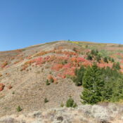
Peak 8273 (dead center on the high ridgeline) as viewed from Point 8105 to its southeast. Livingston Douglas Photo
Access
From the junction of US-89/US-30 in Montpelier, drive 4.0 miles northeast on US-89 to an unsigned junction with Home Canyon Road/FSR-149. This junction is just past the Montpelier Canyon Campground. Drive 1.1 miles north up Home Canyon Road to an unsigned junction with a 2-track spur road (shown on maps) on its left/west side. Drive about 50 yards up this spur road and park in the grass. This parking spot is at 6,605 feet and 42⁰20’59”N, 111⁰13’07”W).
Map Errors
The USGS topo map incorrectly shows the spur road continuing farther than it actually does. And there is no hiking trail after that, as the map indicates. Just a cattle trail. You will probably encounter the bovine creatures when you return to the spur road and the road junction where you are parked.
East Spur/Southeast Ridge, Class 2
The Climb
From the parking area on the spur road, follow a good cattle trail south up onto the ridge crest. Continue to follow it as it heads southwest up the rounded ridge crest until it ends at a thick forest with lots of brush. Bushwhack south here to stay out of the dense forest and reach more open terrain on the south side of the pine forest. Scramble west then northwest up over a ridge hump. Drop 30 vertical feet to a saddle then head northwest up over Point 7176. Descend 70 vertical feet to a saddle at the base of a brushy east spur that leads up to Point 8015.
On this steep-ish climb to the southeast ridge, skirt the left side of patches of aspens. Stay in the open sagebrush and just grind higher. There are minor lanes and game trails in the scrub. Once on the southeast ridge, head right/north up over Point 8015 in short, easy grass/scrub. The ridge goes north-northwest from here to Point 8158. The terrain becomes a mix of thicker scrub and pine forest. Your goal is to reach the open scrub of Point 8158 but it won’t be easy to get there and find it.
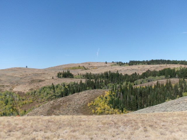
Descend almost 100 vertical feet and bash through a flattish area of thick pine forest with lots of deadfall and brush. Come up over a minor hump then descend north slightly into another forested saddle. Emerge from the dense forest in the easy, open scrub on the upper slopes of Point 8158. Point 8158 provides a good view of what lies ahead to reach Peak 8273 to the west. And it’s not pretty. It is a good ¾ mile away. From Point 8158, it is best to descend west and cross the head of Gertch Canyon in thick pine forest. Try to go as directly at Peak 8273 as possible and shorten the time spent in this miserably thick forest.
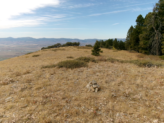
Avoid the curving, rounded ridge just north of the head of Gertch Canyon. I bushwhacked through it and it was really awful. Endless deadfall and no clear ridge crest. Emerge from the forest in open, short grass/scrub and head right/northwest then west to the open, ridge crest summit area of Peak 8273. There was no cairn on top so I built a modest one with the few loose rocks that I could find.

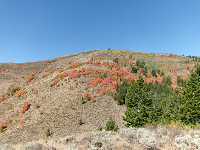
Looking up at Point 8015 from Point 7176. The Gertch Canyon Ridge is the skyline. This was the first leg of my ascent route. Livingston Douglas Photo
East Face, Class 2
The Descent
From the summit, return back to Point 8158. From there, descend south briefly in open scrub then head southeast then east down a forested slope. This slope has many areas of open scrub and loose underlying scree/gravel. It has some game trails and lanes to assist in the descent. The steep slope eases as you lose elevation. Bash down through this mix of forest and brush to reach the northwest branch of the Left Fork Home Canyon.
Once in the Left Fork, quickly find a cattle trail near or in the dry drainage. Follow the trail south-southeast then southeast back to the short spur road. Hike 0.2 miles down the spur road to the road junction and your parked vehicle. Given the difficult bushwhacking required by both of my climbing routes, the south ridge seems to be a better alternative. It is easily accessible from high up with an easy, short forested bushwhack. From there, the terrain is open all the way down to US-89. I am not sure how thick the scrub gets, but avoiding the thick pine forest in this area is critical.
Additional Resources
Regions: Peale Mountains->Pruess Range->SOUTHERN IDAHO
Mountain Range: Peale Mountains
Longitude: -111.25416 Latitude: 42.36420
