Elevation: 8,288 ft
Prominence: 348

This peak is not in the book. The name is derived from a nearby cabin. See Dave Pahlas’ trip report linked below. Published November 2024
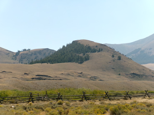
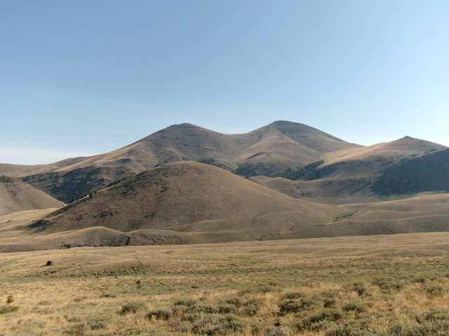
Peak 8288 is one of several foothills on the north side of the Lost River Range. It sits on the east side of the confluence of the East Fork Pahsimeroi River and West Fork Pahsimeroi River. Peak 8288 is a rounded hump that is due south of its sister peak, Peak 8340. These two peaks are best climbed together from the East Fork Pahsimeroi Road. USGS Burnt Creek
Access
East Fork Pahsimeroi Road/FSR-118 [(C)(3.2) on Page 294 of the Book]. From the signed junction of the West Fork Pahsimeroi Road and East Fork Pahsimeroi Road, drive 0.6 miles south up the rocky East Fork Pahsimeroi Road to a fording of the West Fork Pahsimeroi River (wide and shallow here). Drive across the river and park at an unsigned spur road junction on the south side of the river (7,775 feet and 44⁰09’18”N, 113⁰42’26”W).
The Upper Pahsimeroi Road/FSR-118 is in poor condition from its signed junction with FSR-318 (a spur road to a campsite). This junction is 0.2 miles past (south of) the fording of Mahogany Creek. The final 3.2 miles from this junction to the fork in the canyon and the split in the road for East Fork Pahsimeroi Road and West Fork Pahsimeroi Road is rugged and awful. The protruding rocks/boulders are endless. The road is braided in many sections. It is a very slow plod.
You must have a 4WD vehicle with high clearance and good tires to make it to the fork in the canyon. This is the second leg of a 2-peak adventure that includes Peak 8288 and Peak 8340. It covers 2.5 miles with 1,050 feet of elevation gain round trip.
West Face, Class 2
The Climb
From the road junction, scramble east up onto a bench of field grass and sagebrush. This bench follows the West Fork Pahsimeroi River northeast toward its confluence with the East Fork Pahsimeroi River. Descend 40 vertical feet off this bench to ford the East Fork Pahsimeroi River just above the willow-clogged confluence. Drop down to the river at a semi-open area of marshy grass and a few willows. Bushwhack through a short patch of willows to reach the East Fork Pahsimeroi River where it is braided into two branches.
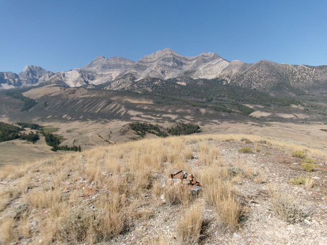
Ford the shallow river here and climb up over a steep wall of loose gravel/sand to reach a grassy bench on the east side of the East Fork Pahsimeroi River. Head northeast and skirt the bottom of a hump to reach a dry gully at the base of the west face of Peak 8288. Cross the gully and scramble northeast up a steep-ish face of scrub and gravel to reach the northwest ridge high up. Head right/southeast up the ridge in easy, short grass/scrub to the open summit hump. I added a few rocks to the summit cairn.
North Face, Class 2
The Descent
From the summit, descend northwest in open grass/scrub then angle right/north into a pine forest. Bushwhack down through this easy forest to quickly reach open sagebrush. Descend north then northeast through the sagebrush. Drop to cross a dry gully at the base of the south face of Peak 8340. This is the low point in the traverse from Peak 8288 to Peak 8340. It concludes the first leg of today’s 2-peak journey. Peak 8340 is up next.
Additional Resources
Regions: EASTERN IDAHO->Lost River Range
Mountain Range: Lost River Range
Longitude: -113.6968 Latitude: 44.1576


