Elevation: 8,291 ft
Prominence: 591

This peak is not in the book. The name was proposed by Rick Baugher. Published November 2024
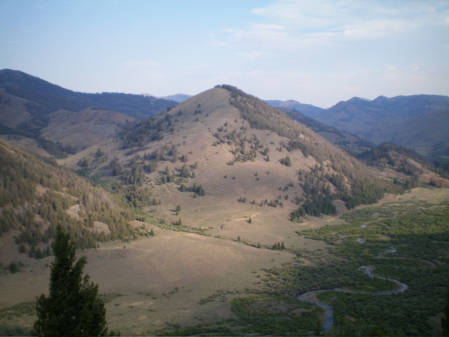
Peak 8291 sits up on a rounded hump on the west side of the North Fork Big Lost River in the Boulder Mountains. It separates Little Burnt Creek from Bartlett Creek. Peak 8291 is most easily climbed from the road closure gate on FSR-444 at the Little Burnt Creek ATV Trailhead/FST-4255. USGS Herd Peak
Access
North Fork Big Lost River Road/FSR-128 [(B)(2) on Page 242 of the Book]. From the junction of Trail Creek Road and FSR-128, drive southwest on Trail Creek Road for another 1.4 miles to a signed junction with FSR-444 on the west side of the North Fork Big Lost River. Drive north on FSR-444 for 1.9 miles to its end at a gated closure and the trailhead for FST-4255, an ATV trail. Park in the large trailhead parking area (7,215 feet and 43⁰54’53”N, 114⁰10’53”W).
Map Errors
The USGS topo map fails to show ATV Trail #4255 and other old jeep roads on or near Peak 8291. The USGS topo map mispositions FSR-444. FSR-444 has no right bend near its end (with a drop to the North Fork Big Lost River) and the road goes farther north than shown on the USGS topo map, almost all the way to the creek crossing shown on the map. FSR-626, which is shown on the USGS topo map, the National Forest map, and the Sun Valley Adventure Maps Trail Map, no longer exists. Not even any remnants of it. Contrary to the maps, FSR-444 is a decent 2-track road. It is not a 4WD road as the maps suggest.
Southeast Ridge, Class 2
The Climb
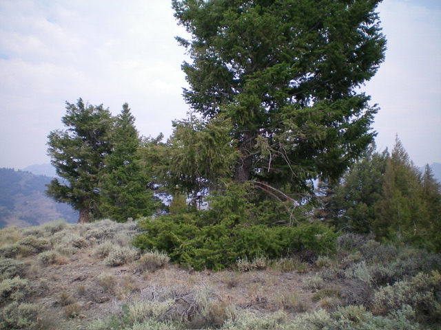
From the trailhead, hike north then west up a gully on the ATV trail/road to reach a patch of pine trees, which provide good access (less rocky and less steep) to the southeast ridge. Leave the ATV trail and scramble up the steep ridge of scattered pines and sagebrush (with underlying loose scree/gravel). You will soon reach pure open terrain (sagebrush) with forested terrain off to the right/northeast. Bushwhack up this steep scrub to the semi-forested, ridge-crest summit of Peak 8291. The high point is at a pine tree. There was no summit cairn but a small fire ring was there. So I repurposed the rocks of the fire ring into a summit cairn.
Additional Resources
Regions: Boulder Mountains->EASTERN IDAHO
Mountain Range: Boulder Mountains
Longitude: -114.1920 Latitude: 43.9200


