Elevation: 8,300 ft
Prominence: 480

This peak is not in the book. Published November 2024
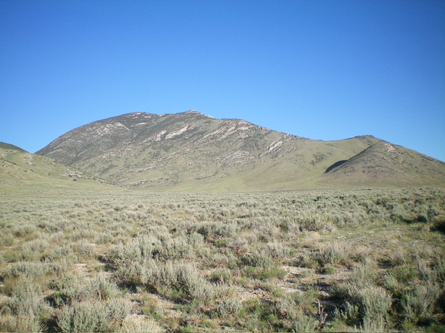
Peak 8300 is a ranked bump on the lengthy southeast ridge of Hawley Mountain (9,752 feet). It is most easily climbed from Hawley Canyon to its south. The greatest challenge is probably driving the difficult mountain roads to get close to it. USGS Hawley Mountain
Access
From ID-33 in Howe, drive northwest on the unsigned, paved Little Lost River Highway. At 24.0 miles, turn left/west onto a 2-track road and reset your odometer. At 0.1 miles, turn left/south onto another 2-track road. At 0.3 miles, turn right/west onto a weaker 2-track road that follows a fence row. At 0.8 miles, reach an unsigned “T” junction.
Turn right/north here and drive north then northwest on a 2-track road that heads up into Hawley Canyon. At 1.6 miles, reach a road fork. Go left/west here. At 2.4 miles, reach a nice, flat, grassy pullout on a rise in the road. Park here (6,120 feet and 44⁰05’25”N, 113⁰16’58”W). Hawley Canyon Road is narrow, overgrown, and has some serious ruts early on. A 4WD vehicle with high clearance is required.
Southeast Spur/East Ridge, Class 2
The Climb
From the grassy roadside pullout, cross to the north side of Hawley Canyon Road and bushwhack northwest then west across a flattish field of sagebrush. Once across the field, find a steep face that lies between two dry gullies. Scramble up this face of scrub, some scree, and several embedded rock strata. Skirt the left/south side of the rock strata.
There are some nice grassy patches on this steep face, much better than the sagebrush on the valley floor. Once on the obvious shoulder (the southeast spur), head up the left side of the ridge crest. Use a decent game trail to avoid a lot of the ridge rock and brush. The game trail eventually goes left/west (away from the ridge). Return to the ridge crest and stay just left of it in reasonable scrub to reach the crest of the east ridge.
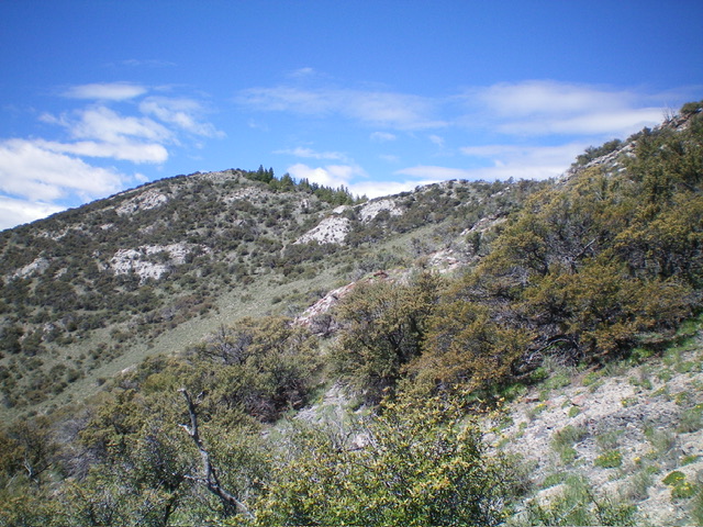
The east ridge is a mess of mountain mahogany and many rocky outcrops. It is tedious but it does have open patches of easy grass amongst the mountain mahogany. Stay to the left/west of the ridge crest to avoid ridge trees/brush and difficult boulders/strata. There are a few minor ups and downs on the final leg left-ish/southwest to the gentle summit. There is a nice cairn on top and a great view of Hawley Mountain to the northwest.

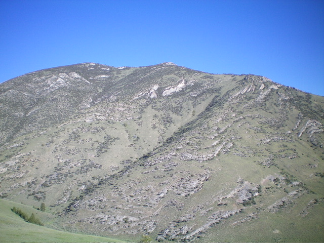
The southwest face of Peak 8300. My ascent route climbs the right-most of the two diagonal shoulders up to the high ridge. The route then follows the choppy ridge to the summit. The summit hump is well left of center. The Baugher route climbs the shoulder left of center. Livingston Douglas Photo
Additional Resources
Regions: EASTERN IDAHO->Hawley Mountains->Lost River Range
Mountain Range: Lost River Range
Longitude: -113.30601 Latitude: 44.0943

