Elevation: 8,340 ft
Prominence: 320

This peak is not in the book. The name is derived from a nearby cabin. See Dave Pahlas’ trip report linked below. Published November 2024
Peak 8340 is one of several foothills on the north side of the Lost River Range. It sits on the east side of the confluence of the East Fork Pahsimeroi River and West Fork PahsimeroiRiver. Peak 8340 is a double-humped peak with a rocky finish. It sits due north of its sister peak, Peak 8288. These two peaks are best climbed together from the East Fork Pahsimeroi Road. USGS Burnt Creek

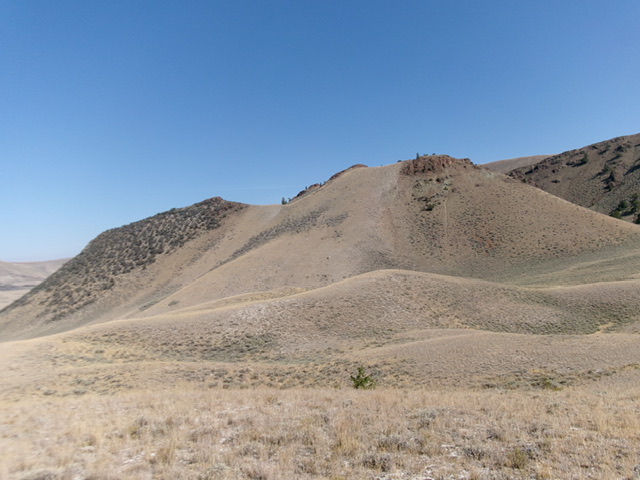
Peak 8340 as viewed from the south. The summit is the barely visible outcrop in dead center. Livingston Douglas Photo
Access
Same as for Peak 8288. This is the second leg of a 2-peak adventure that includes Peak 8288 and Peak 8340. It covers 2.5 miles with 1,050 feet of elevation gain round trip.
South Face/Southeast Ridge, Class 2
The Climb
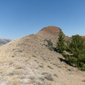
From the gully crossing at the base of the south face, scramble north up steep-ish scrub and loose gravel. Higher up, the terrain becomes steeper and looser. Grind it out and reach a rocky point on the southeast ridge. From this point, scramble left-ish/northwest up the rocky, but easy, ridge to the reddish-colored summit hump of Peak 8340. The ridge terrain is a mix of short scrub, talus, and scree. The high point is obvious and has a nice summit cairn.

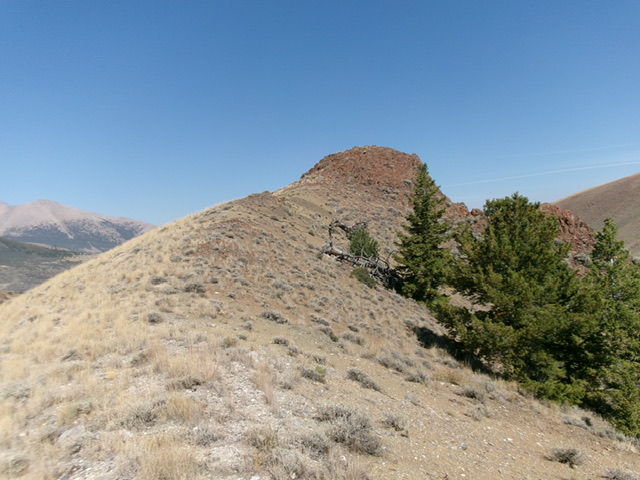
The reddish, rocky summit hump of Peak 8340 as viewed from high on the southeast ridge. Livingston Douglas Photo
North Face, Class 2
The Descent
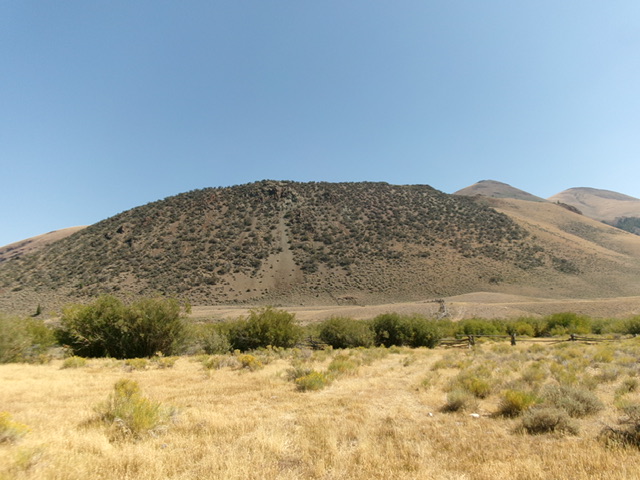
From the summit, descend southwest down a steep grass/scrub shoulder with some scree/gravel to boot-ski down. Cross the prominent dry gully that sits below the south side of Peak 8340. Once across the gully, bushwhack south-southwest across sagebrush to return to the bench on the east side of the East Fork Pahsimeroi River at the earlier crossing point. Drop to cross the river then climb back onto the grassy bench on the left/southeast side of the West Fork Pahsimeroi River. Follow the bench back to the road junction on East Fork Pahsimeroi Road at the river crossing.
Additional Resources
Regions: EASTERN IDAHO->Lost River Range
Mountain Range: Lost River Range
Longitude: -113.6977 Latitude: 44.1657
