Elevation: 8,375 ft
Prominence: 515

This peak is not in the book. Published September 2018
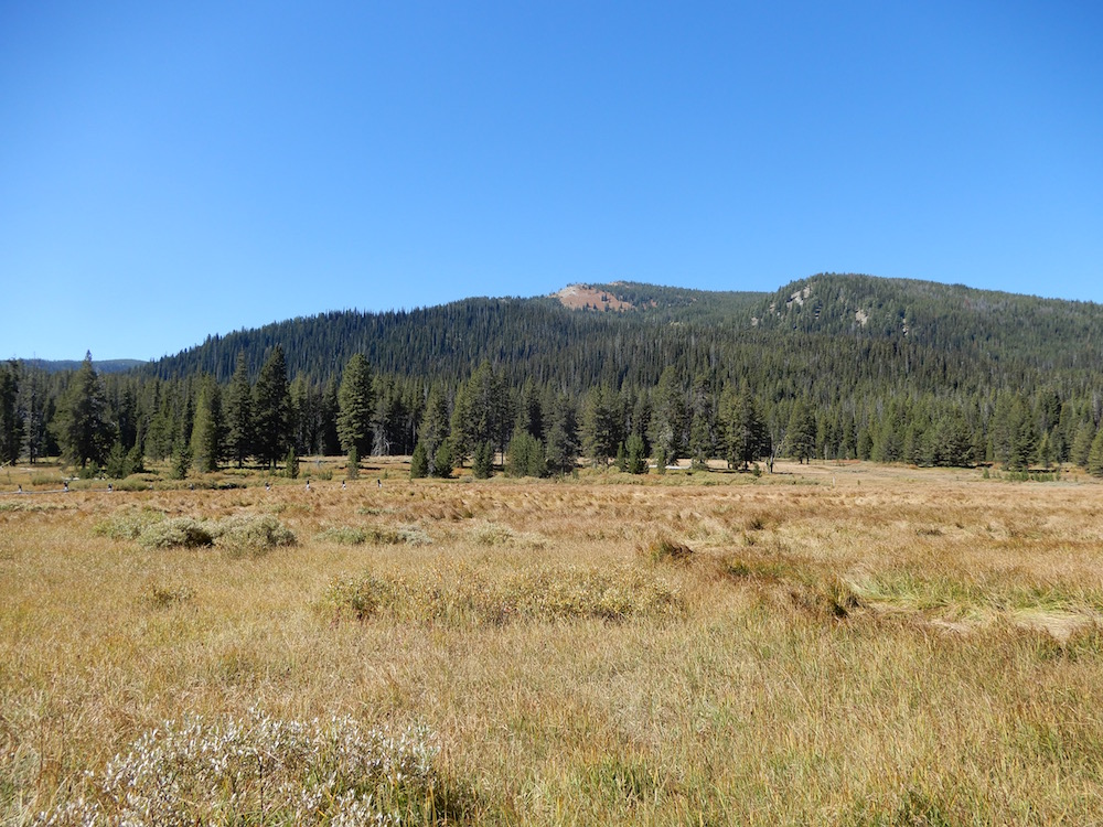
Peak 8375, more commonly known as Pete Creek Peak, sits between Bear Pete Mountain and Toller Peak on the long divide that rises up west of Lake Creek and Burgdorf Hot Springs. USGS Burgdorf
Access
The peak is best accessed from the Burgdorf/French Creek Road [(B)(2.3)(a) on Pages 135-136]. The best trail option from this road is FST-144 which leads from the Burgdorf/French Creek Road to the Bear Pete Mountain Trail/FST-142 along the South Slopes of Pete Creek Peak.
West Slopes-East Ridge Traverse, Class 2
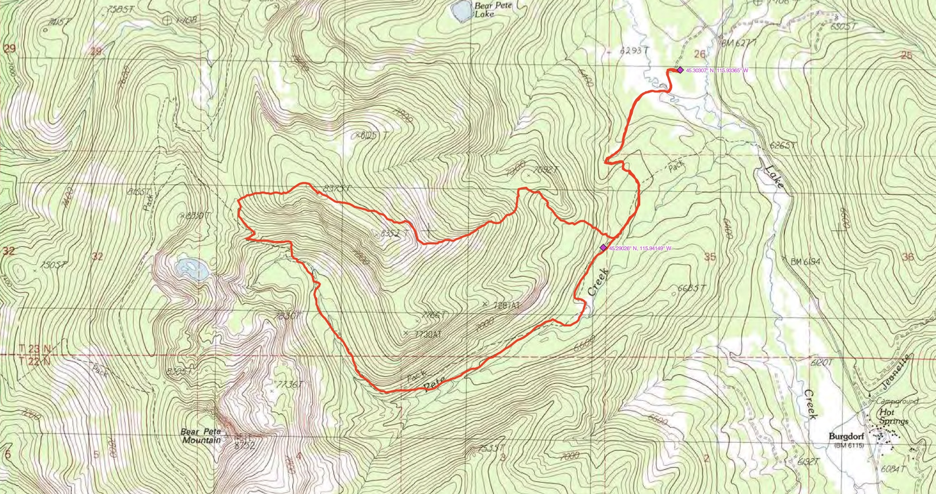
John Platt followed FST-144 until he could access the West Slopes. He ascended from that point to the summit and then descended the peak’s East Ridge to the trail. See John’s GPS track below and use the link farther below to read his trip report.
Additional Resources
Regions: Northwest Corner Peaks->Salmon River Mountains->WESTERN IDAHO->Western Salmon River Mountains
Mountain Range: Western Salmon River Mountains
Longitude: -115.97059 Latitude: 45.29419

