Elevation: 8,467 ft
Prominence: 327

This peak is not in the book. Published November 2024
Peak 8467 is located west of Donkey Benchmark and east of Burnt Creek. It is most easily climbed from Donkey Hills Road to its west. This area is a mix of private and public land, so be careful. This climb is entirely on BLM land. USGS Donkey Creek
Access
From Donkey Hills Road exactly 5.2 miles northwest of Short Creek Road (see Access Section for Squawtip) and just before a sharp left/west bend in the road, turn right/southeast onto a 2-track side road. Drive 0.1 miles southeast on this spur road and park at a cattle fence/wire gate in short, open scrub (6,920 feet and 44⁰16’16”N, 113⁰39’01”W).
West Ridge, Class 2
The Climb
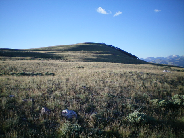
From the parking area, cross the wire gate and follow the 2-track road southeast down to a crossing of Burnt Creek. Cross the creek just downstream from the deep, watery road crossing of the creek. Once across the easy, narrow creek, scramble left-ish/northeast up the toe of a bare shoulder to reach a rounded ridge crest of short grass/scrub. Follow the ridge as it wobbles a bit but heads generally east then northeast to approach the vast, open northwest ridge of Peak 8467. Angle right/east then southeast to directly reach the cairned summit. On the descent, be careful to not wander too far south and end up on posted, private ranch land.

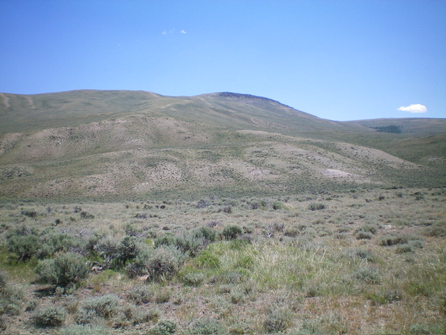
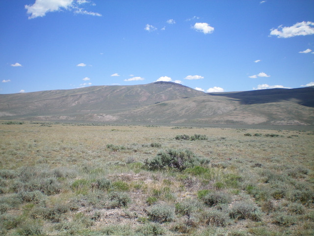
Peak 8467 as viewed from the west. The summit is in the distance in dead center with a patch of pine forest just underneath it. Livingston Douglas Photo
Additional Resources
Regions: Donkey Hills->EASTERN IDAHO->Lost River Range
Mountain Range: Lost River Range
Longitude: -113.6167 Latitude: 44.2712

