Elevation: 8,555 ft
Prominence: 415

This peak is not in the book. The name was proposed by Dave Pahlas. Published December 2024
Peak 8555 is a forested foothill in the White Cloud Mountains. It sits above the Salmon River and Robinson Bar on a ridge that separates Warm Springs Creek from Treon Creek. The west side of Peak 8555 is very rugged as are sections of its north and east sides, so be careful to stay on route. USGS Robinson Bar

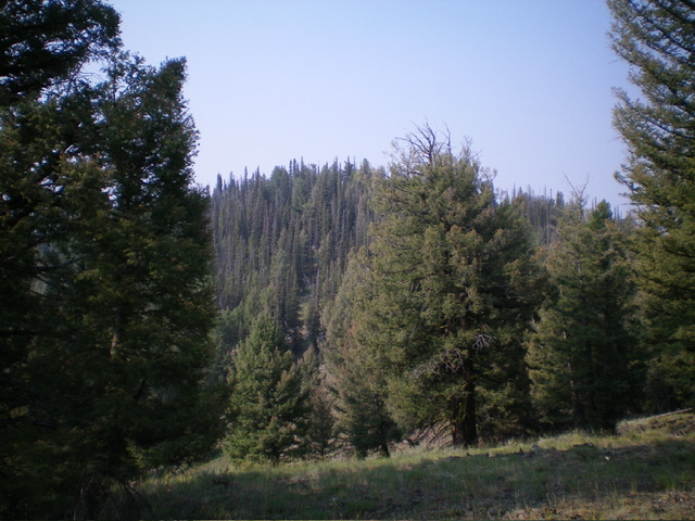
Forested Peak 8555 (dead center) as viewed from high on the north ridge. This was my ascent route. The semi-open summit sits behind the pine trees. Livingston Douglas Photo
Access
From ID-75, turn west onto FSR-454 (near Slate Creek) at a bridge crossing of the Salmon River. Drive 0.7 miles west to an unsigned road junction. Go right/west to stay on FSR-454 (left/south is FSR-666/Slate Creek Road). From this junction, drive 5.4 miles west on narrow FSR-454 as it follows the Salmon River upstream to reach a road closure gate (and fence row) at a private ranch in Robinson Bar. Park in a nice pullout underneath the pine trees here (6,060 feet and 44⁰14’59”N, 114⁰39’52”W).
Map Errors
The USGS topo map shows FSR-454 as a rugged road but, for most of its length, it’s narrow but pretty tame. There is a short, steep, rocky section where it climbs up over a forested shoulder. That’s about as bad as it got. Overall, not a bad road. Just narrow with very few pullouts. But since it’s a dead-end road, there isn’t much traffic on it.
North Ridge, Class 2
The Climb
From the parking area and fence row, bushwhack south up through an easy, grassy, forested slope. After about 200 feet of uphill, a defined ridge appears just to the right/west. A pronounced gully is to the left/east. Move right-ish/southwest to get onto the ridge. This is the genesis of the lengthy north ridge of Peak 8555. Follow this surprisingly well-defined ridge up through a pine forest in a mix of ridge pines, some blowdown (which worsens as you ascend), field grass, some ridge rock (higher up), and some areas of scree/gravel.
The ridge is surprisingly steep, even early on. The ridge blowdown is annoying and a bit tedious. There is an occasional game trail but not for long. The ridge reaches a hidden ridge juncture in a semi-open area at about 7,580 feet. The ridge bends left/southeast here. It is critical to make the correct turn here when you descend the ridge. From the ridge juncture, scramble southeast up a steep mix of forest, grass, and loose scree/gravel. This section is very STEEP. The blowdown in this ridge section is also much worse than what you have encountered up to this point.
Reach the main, high ridge crest at, or just south of, rocky Point 8200+ at a ridge juncture. This ridge juncture is as critical, perhaps more critical, than the earlier ridge juncture. I placed a cairn here to remember to head left/southwest from here on the descent. The ridge bends right/south here. Climb up the laborious, up-and-down, narrow ridge crest of rock, pines, and blowdown. From the final ridge juncture, it is a long mile of hard work to reach the elusive summit. It is tedious. The ridge seems to never end.
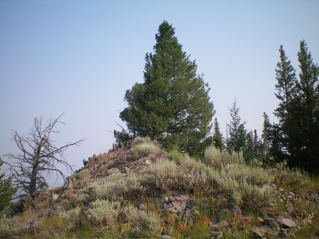
Reach the [lower] north summit at yet another ridge fork. This is a forested hump with a massive pine tree atop it. You might think that this is the top, but it is not. Keep going south for another 0.2 miles to reach the true summit of Peak 8555. There is a 30-foot drop to a saddle between the forested north summit and the mostly-open south summit. I built a decent cairn atop the south summit (the true summit). On the descent, be very careful to bend right-ish/northeast after climbing back up over the north summit.
The forest is thick here and you might cruise right by the right fork of the ridge here. As you descend to the valley floor, the ridge loses much of its definition and becomes quite rounded. But if you can spot the prominent dry gully to your right/east, you will stay on course and continue to head north back to the road closure gate and your parked vehicle.

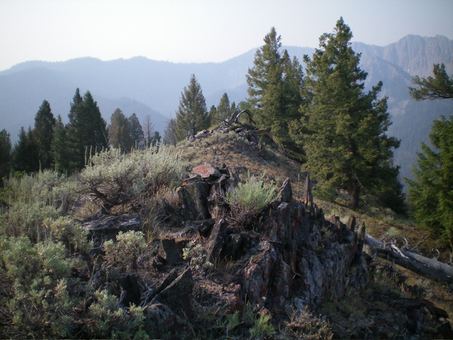
The semi-open, rocky summit crest of Peak 8555, looking south. The summit cairn is in the foreground. Livingston Douglas Photo
Additional Resources
Regions: EASTERN IDAHO->White Cloud Mountains
Mountain Range: White Cloud Mountains
Longitude: -114.6624 Latitude: 44.2244
