Elevation: 8,604 ft
Prominence: 584

This peak is not in the book. Published November 2024
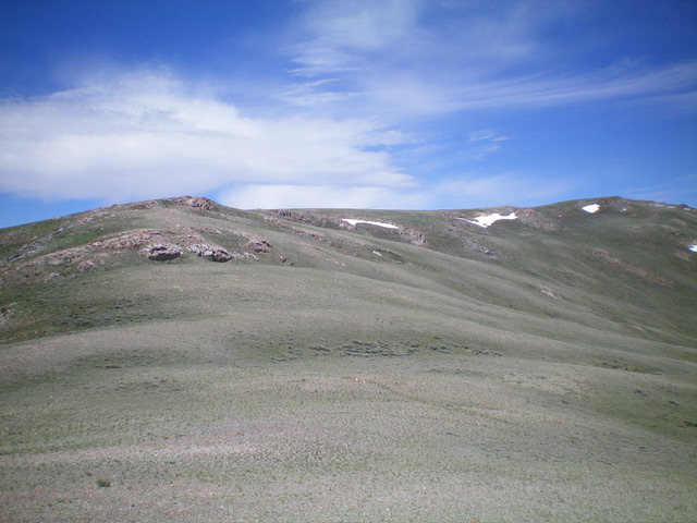
Peak 8604 is a foothill on the north side of the Lost River Range. It sits just south of the Donkey Hills. Peak 8604 is most easily climbed from Long Creek Road at a high saddle to its north. An unmapped 2-track road leads from this saddle almost to the summit. USGS Short Creek
Access
From the junction of [signed] Lower Dry Creek Road and Long Creek Road, drive 0.6 miles west then northwest up Long Creek Road to a minor pullout and park (7,285 feet and 44⁰11’13”N, 113⁰31’13”W). Refer to the Access Section of Peak 9375 for directions to the junction of Lower Dry Creek Road and Long Creek Road. The Access Section refers to Lower Dry Creek Road as “Dry Creek Road.”
Map Errors
There are several roads shown on the USGS topo map that no longer exist. The first one is a jeep road that traverses the east side of Peak 8604 near the valley floor on the west side of Dry Creek. The second one is labeled “Burnt Creek Road” and climbs the east face then south face of Peak 8604. Neither of these roads exist nor do any remnants remain.
East Ridge, Class 2
The Climb
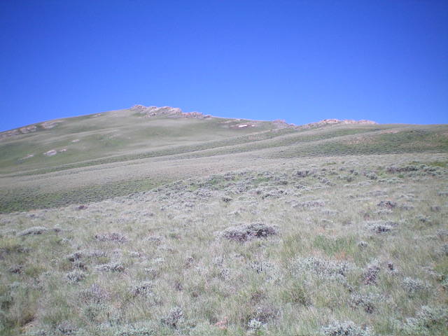
From the roadside pullout, bushwhack west through sagebrush up onto a bench. Continue west up a shoulder (of sorts) of thick-ish sagebrush after crossing a high cattle fence early on. Except for a few thicker patches of sagebrush in minor gully crossings, the scrub is generally short, gapped, and easy. Head for a series of rocky ridgeline outcrops.
The ridge bends left/southwest here. Either skirt the left/east side in easy scrub or scramble directly up the rock strata. Reach cairned Point 8312 on its right/north side then head west in easy scrub to a final ridge section. The ridge bends right/north in short scrub and ground rock to reach the cairned high point of Peak 8604. There is a post in another cairn below, and south of, the cairned high point.
North Shoulder, Class 2
This climb is mostly Class 1. From the high saddle on Long Creek Road at 7,700 feet (see my Access Section for Peak 9248), follow an unmapped 2-track road that heads southwest then south up a shoulder to reach the summit area. A short bushwhack leads south to the open summit.
Additional Resources
Regions: EASTERN IDAHO->Lost River Range
Mountain Range: Lost River Range
Longitude: -113.5460 Latitude: 44.1857


