Elevation: 8,610 ft
Prominence: 670
This peak is not in the book. Updated September 2023
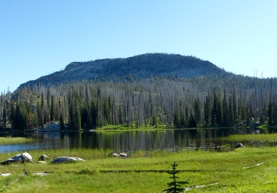
Paintbrush Peak is a prominent summit in the northern section of the Lick Creek Range. It is one of John Platt’s favorite Lick Creek summits. See John’s peak report to read about his trip. USGS Box Lake
Access
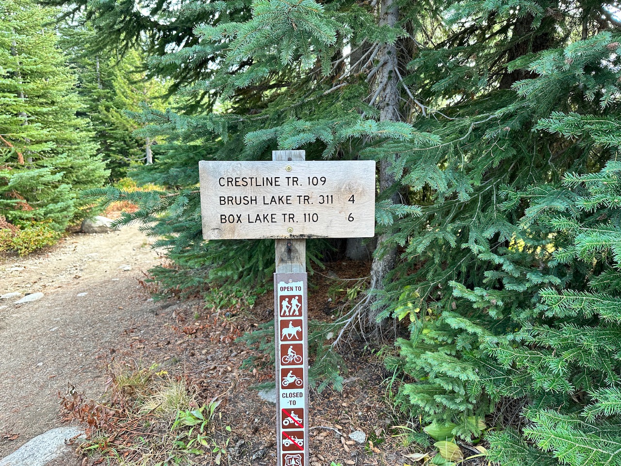
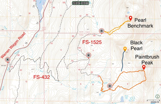
The easiest access is from the west. Follow Warren Wagon Road [(B)(2) on Page 135] north from its junction with ID-55 for 14.0 miles to a turnoff FS-432 (which is sometimes signed for the Crestline trailhead). This rough road is passable for Subaru type vehicles. Follow this road as it switchbacks up the mountain for 5.0 miles to its junction with FS-1525. FS-1525 leads to the starting point for an ascent of Pearl Benchmark. Keep right following FS-432 for another 1.6 miles to the large Crestline Trailhead parking lot at an elevation of 7,200 feet.
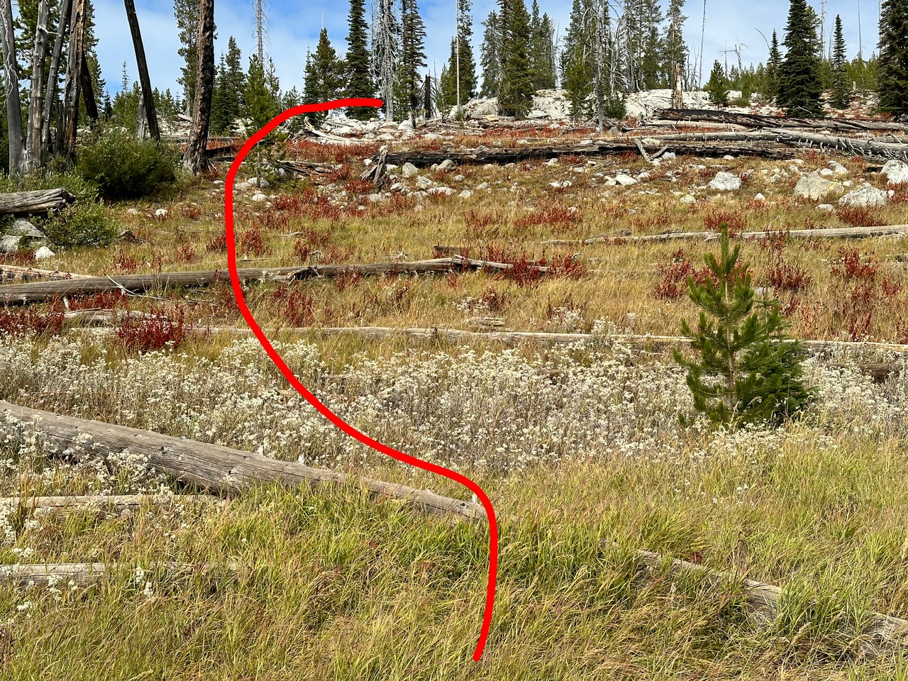
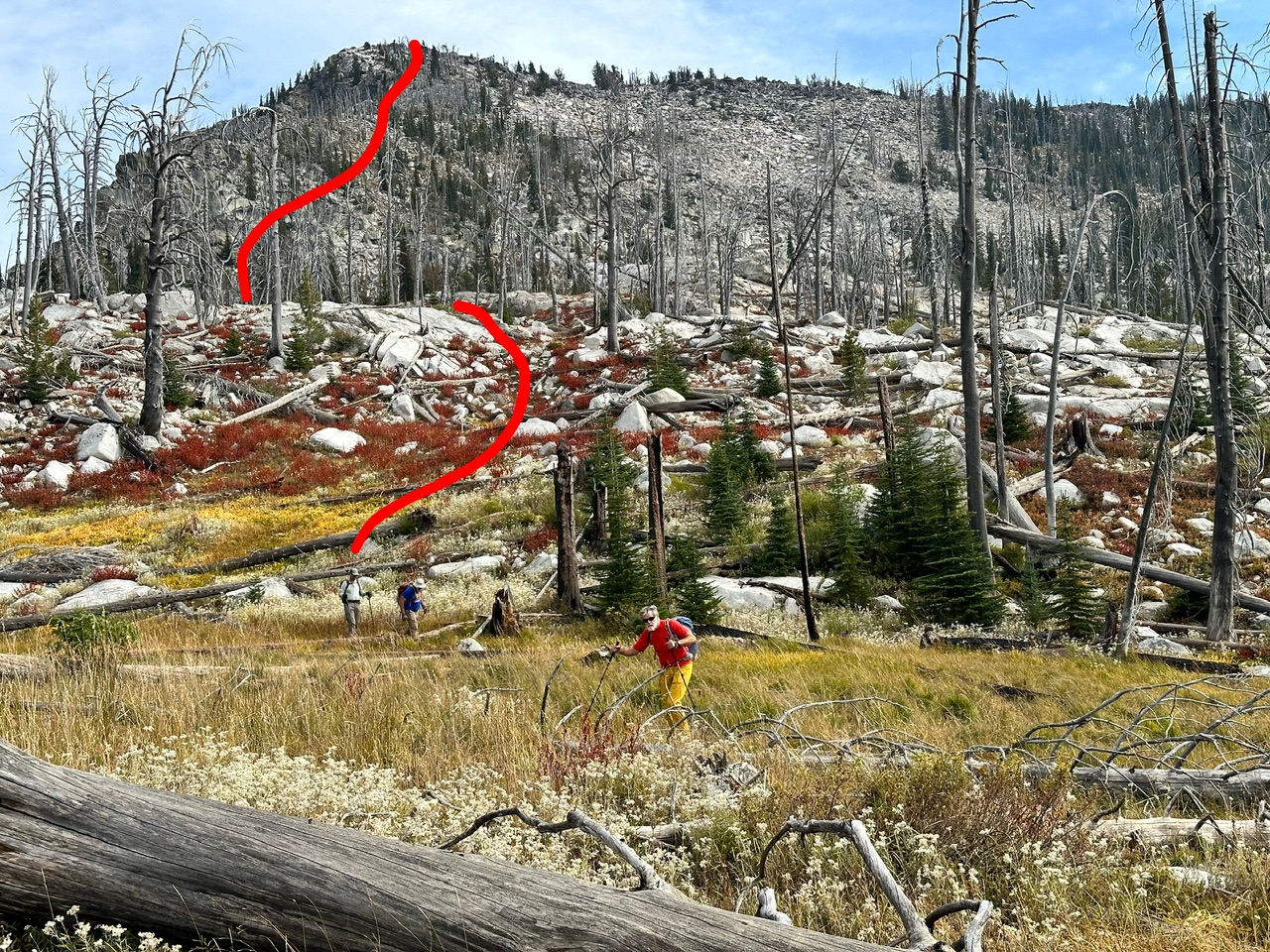
From the trailhead, hike the Crestline Trail, FST-109 for one mile. This trail is in great shape, open to motorcycles and not where it is located on the most recent Forest Service Topo map. At the one mile point (which has no obvious landmark, 45.08228/-115.98446) you will leave the Crestline Trail to head northeast toward Black Pearl Peak and Paintbrush peaks. See the map below. Head due north up a small rise and then look to the northeast. If you are lucky you will spot a rock cairn. From the first cairn you should be able to follow a faint tread and other cairns northeast until you reach roughly 7,600 feet of elevation. You will note on the orientation map below that I missed this turn on my ascent and headed off to the east. This counter clockwise route is doable but not recommended because it encountered a lot of downfall.
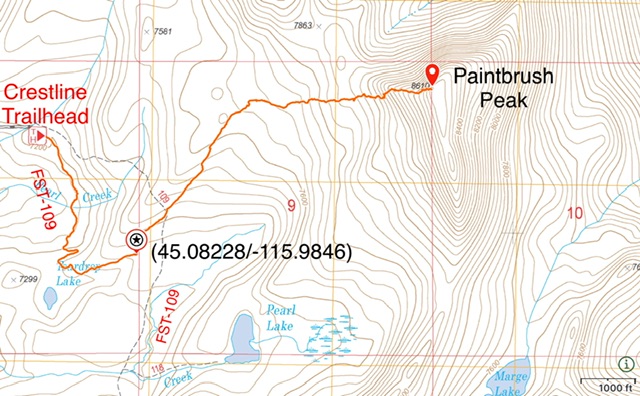
The recommended route to Paintbrush. This route covers 4.8 miles round trip with 1,420 feet of elevation gain.
West Ridge, Class 2+ or 3
From the 7,600 foot contour hike due east toward the peak’s west ridge. Ascend the ridge on its south side. This terrain is steep with granite outcrops and downfall. Pick your way through the obstacles staying well below the ridge crest. Class 3 climbing only comes into play just below the summit. It can be avoided by gaining the summit ridge east of the true summit.
Additional Resources
Mountain Range: Western Salmon River Mountains
Year Climbed: 2023
Longitude: -115.96389 Latitude: 45.09049
