Elevation: 8,664 ft
Prominence: 444
This peak is not in the book. Published November 2020
Peak 8664 is located in the northwest corner of Copper Basin. There are four ranked summits that surround Fox Creek: Peak 8664, Peak 9533, Peak 8763, and Peak 8146. They make for a fine, one-day outing that is entirely off-trail and covers 10.2 miles with 4,350 feet of elevation gain round trip. Peak 8664 is first up and is close to the mouth of the Fox Creek drainage. It is due west of the end of Fox Creek Road. I saw more big game on this four-peak day than any other hiking day during 2020 and brought home a nice shed elk antler. USGS Big Black Dome
Access
From its junction with US-93 north of Mackay, drive southwest on Trail Creek Road for 18.4 miles to a signed junction with Copper Basin Road/FSR-135. Turn left/south onto FSR-135 and drive 11.6 miles to an unsigned 2-track road (Fox Creek Road). Turn right/south onto Fox Creek Road and drive 0.4 miles to its end at a small aqueduct (7,455 feet).
East Ridge, Class 2
The Climb
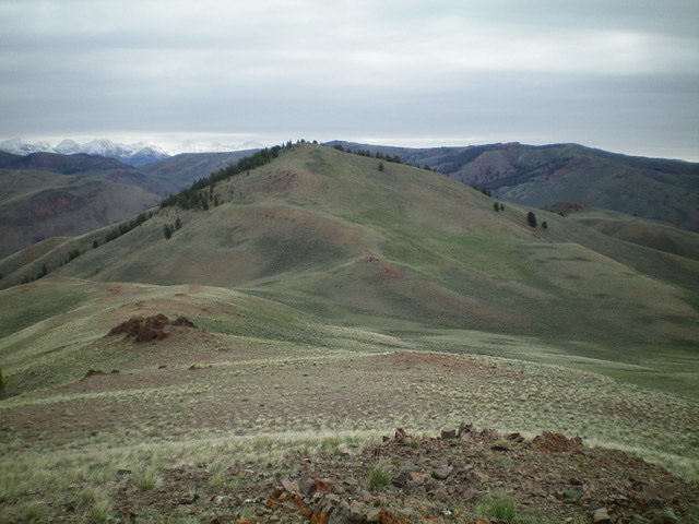
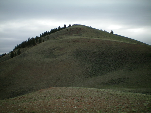
From the end of Fox Creek Road, scramble west up a steep sagebrush slope and skirt the left/south side of a rocky buttress (Point 8346). Descend 115 vertical feet to a saddle that sits at the base of the east ridge of Peak 8664. Scramble west up the thinner scrub on the east ridge to reach the summit of Peak 8664. The summit has a small cairn on the summit ridge crest area.
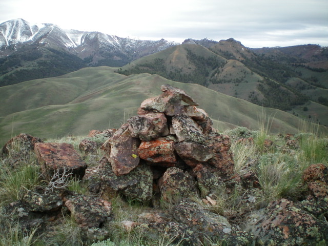
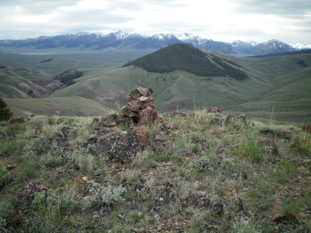
The summit cairn atop Peak 8664. Peak 9533 is the high hump right of center. The ridge traverse to it is up next and will take some work. Livingston Douglas Photo
Southwest Ridge, Class 2
The Descent
From the summit, descend southwest on easy scrub and make a final jog right/west to reach the saddle at the base of the southwest ridge of Peak 8664. This is the connecting saddle between Peak 8664 and Peak 9533. This concludes the first leg of today’s four-peak odyssey. Peak 9533 is up next.
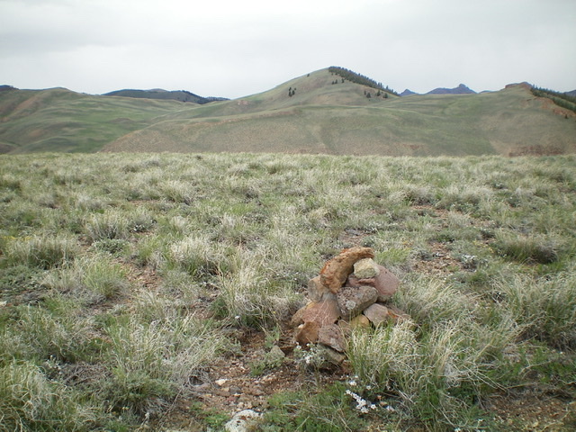
Peak 8664 (dead center) as viewed from the summit of Peak 8146 to its southeast. Livingston Douglas Photo
Additional Resources
Regions: EASTERN IDAHO->Pioneer Mountains
Mountain Range: Pioneer Mountains
Longitude: -113.94489 Latitude: 43.87259
