Elevation: 8,681 ft
Prominence: 381

This peak is not in the book. Published November 2024
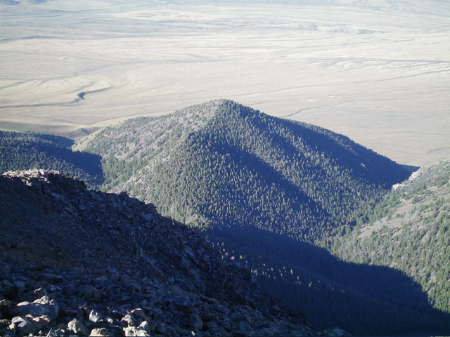
Peak 8681 is one of several foothills on the southwest side of the Pahsimeroi Mountains south of Challis. It is most easily climbed via its [mostly-open] south ridge. Peak 8681 is a double-humped mountain. The southwest summit is the high point. USGS Grouse Creek Mountain

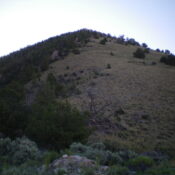
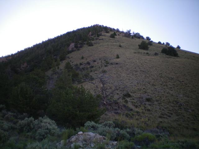
Peak 8681 and its steep west ridge (dead center). This was my ascent route. Livingston Douglas Photo
Access
McGowan Creek Road/BLM-120 is located along US-93 south of Challis at virtual MM147.1. It is 1.1 miles northwest of [signed] Gooseberry Creek Road. There is a small BLM road sign at the base of McGowan Creek Road. From US-93, turn northeast onto McGowan Creek Road and reset your odometer. At 0.6 miles, bear left at an unsigned road junction. At 2.1 miles, stop in a flattish area just before the road climbs to cross a narrow drainage. Park here (6,800 feet and 44⁰20’38”N, 114⁰00’41”W). McGowan Creek Road gets much steeper and rockier in its final mile. It ends at the mouth of the McGowan Creek Canyon. You will certainly need a 4WD vehicle with high clearance and good tires.
West Ridge, Class 2
The Climb
From the improvised parking spot along McGowan Creek Road, drop briefly to cross the dry creek bed of McGowan Creek then contour south in open grass (with a somewhat rocky base) to get past Peak 9330 to the east. Once past Peak 9330, angle left-ish/southeast and upward to reach the mouth of a prominent gully that separates Peak 9330 from Peak 8681. An unmapped 2-track road comes up to the mouth of the narrow, ominous-looking gully. Cross the road and drop five feet to cross a dry drainage at the toe of the west ridge. Scramble steeply up the short grass/scrub and loose gravel on the ridge to reach scattered pines higher up. A game trail helps in the initial, loose section of the ridge.
Stay on the left/north edge of the ridge and use the pines for better footing. Higher up, the slope eases a bit and the pine forest takes over. The going is easier now with less rock, more pine duff, and gapped pines. High up, the slope steepens and the loose gravel returns. The final push is up more of a face than a ridge and is in a semi-open pine forest. The summit crest is narrow with rocky outcrops and loose, angled scree on its sides. I rebuilt and enlarged the dinner-plate shale summit cairn. Overall, the scramble up the west ridge is a pleasant scramble from the valley floor.

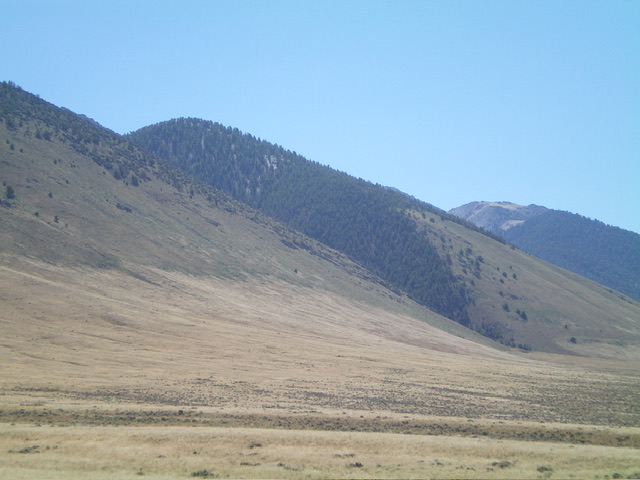
Peak 8681 (in center, mid-ground) as viewed from the northwest. My ascent route follows the forested ridgeline diagonally up and left. Livingston Douglas Photo
Additional Resources
Regions: EASTERN IDAHO->Lost River Range->Pahsimeroi Range
Mountain Range: Lost River Range
Longitude: -113.9832 Latitude: 44.3294
