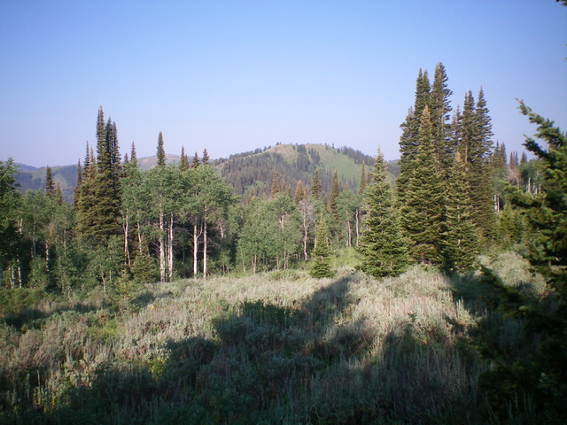
Elevation: 8,710 ft
Prominence: 590

This peak is not in the book. This peak is part of a 3-peak ridge traverse that includes Oliver Peak and South Oliver Peak. Published November 2022
Peak 8710 is a minor hump that is tucked in behind, and west of, Oliver Peak in the Snake River Range. It sits at the head of Mike Harris Creek. This is the third leg of a 3-peak adventure that includes Oliver Peak (9,004 feet), South Oliver Peak (9,000 feet), and Peak 8710. It covers 13.5 miles with 4,050 feet of elevation gain round trip. USGS Victor
Access
Same as for Oliver Peak. This is the final leg of a 3-peak journey that begins near the Mike Harris Campground.
East Ridge, Class 2
The Climb
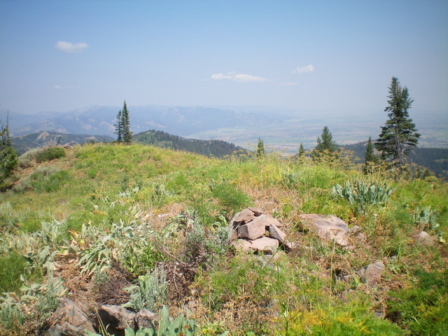
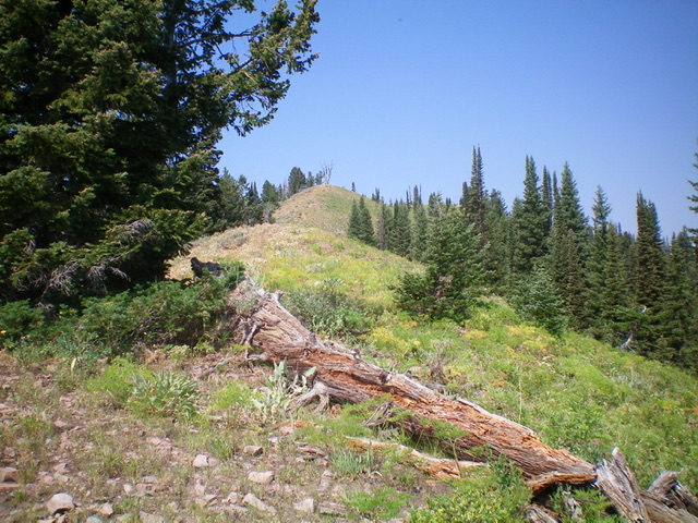
From the 8,120-foot connecting saddle, follow FST-174 southwest up to its crossing of the east ridge. Leave the trail here and scramble west up the open ridge to the summit. The ridge terrain is easy scrub with some loose scree/gravel and it goes quickly. The summit has a small cairn.
The Descent
From the summit, return down the east ridge to FST-174. Follow FST-174 northeast down to the connecting saddle. Continue hiking on FST-174 as it heads northeast up the ridge to an unsigned junction. Go left/north here onto FST-203A and follow it up to its merger with FST-203 on the main ridge crest. Follow FST-203 all the way down to the mouth of Mikesell Canyon. From there, hike north on FST-201 back to the trailhead and your parked vehicle.
Additional Resources
Mountain Range: Big Hole and Snake River Mountains
Longitude: -111.09109 Latitude: 43.52249


