Elevation: 8,727 ft
Prominence: 283

This peak is not in the book. Published November 2024
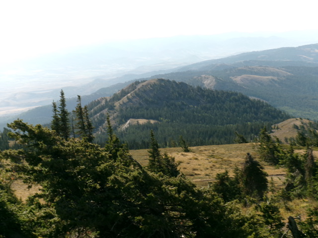
Formerly a ranked peak, Peak 8727 is a ridge hump on the southeast ridge of Sedgwick Peak (9,167 feet). It is most easily climbed in combination with Sedgwick Peak. This area is a mix of private and public land, so be careful. The connecting ridge with Sedgwick Peak is on State of Idaho land. USGS Sedgwick Peak
Access
See the Sedgwick Peak page.
Map Errors
Maps fail to show a decent jeep road that is on the northeast face of the ridge between Baldy Mountain and Sedgwick Peak. This jeep road intersects the ATV trail heading west up toward Baldy Mountain. This junction is at about 6,950 feet and is only about 1/8 mile west (and up from) an initial unsigned road junction at a side gully that heads north. The USGS topo map shows an old jeep trail heading southwest then south up Densmore Creek and then up onto a shoulder on the east side of the creek drainage. That road no longer exists nor are there any remnants of it.
Northwest Ridge, Class 2
The Climb
From the 8,420-foot connecting saddle with Sedgwick Peak, bushwhack southeast up through pine forest and quickly emerge on a bare ridge hump. Drop slightly southeast to a minor saddle in open terrain. From this saddle, scramble southeast then south up the rounded ridge crest to the summit. Stay on the left/east edge of the ridge crest to complete the ridge ascent in mostly-open terrain. The pine forest is just to the right/west of the ridge crest.
Additional Resources
Regions: Portneuf Range->SOUTHERN IDAHO
Mountain Range: Portneuf Range
Longitude: -111.90828 Latitude: 42.50149
