Elevation: 8,729 ft
Prominence: 337

This peak is not in the book. Pre-LiDAR elevation on the map is 8,740 feet. Published November 2024
Peak 8729 is a ranked bump on the lengthy north ridge of Cold Benchmark (9,178 feet). It is most easily climbed from Leadbelt Creek Road to its west. An old mining road leads up to its southwest ridge. USGS Blizzard Mountain North

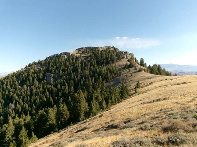
Peak 8729 as viewed from high on the southwest ridge. This was my descent route. Livingston Douglas Photo
Access
Same as for Peak 8621 (Thimble Peak). This is the second leg of a 3-peak adventure that includes Peak 8621, Peak 8729, and Cold Benchmark (9,178 feet). It covers 8.0 miles with 3,250 feet of elevation gain round trip.
West Face/North Ridge, Class 2
The Climb
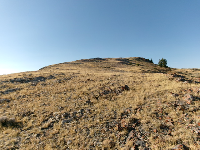
From the 7,860-foot connecting saddle with Peak 8621, scramble diagonally right/southeast up a steep, but easy, slope of short scrub to reach the crest of the north ridge high up. Follow the easy, open ridge crest south to the small summit in very short grass/scrub. The summit of Peak 8729 has triangulation wiring and a few posts on the ground. I built a summit cairn on the high point and stuck a post in it.

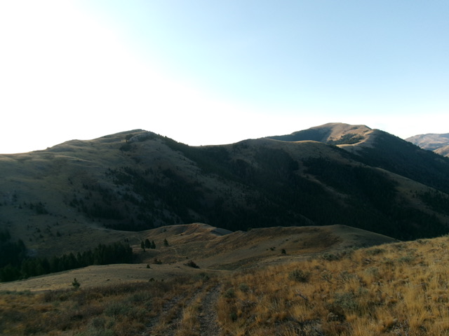
Peak 8729 (left hump) and Cold Benchmark (at far right) as viewed from Peak 8621 to the north-northwest. Livingston Douglas Photo
Southwest Ridge, Class 2
The Descent
From the summit, descend south then southwest on a ridge that is a combination of rocky ridge outcrops, cliff bands, short scrub, and patches of pine forest. Downclimb the right/west side of the cliff bands to avoid cliff faces on the ridge crest proper. This work goes quickly but does have some loose underlying scree/gravel to contend with. The lower part of this initial descent becomes easy, short, open grass and scrub.
Reach an initial saddle then climb southwest up over a ridge hump. From this hump, descend southwest then south to the connecting saddle with Cold Benchmark (9,178 feet) in easy, open grass and scrub. Much of the southwest ridge has the remnants of an old 2-track road on it. It is somewhat rocky and loose. The 8,420-foot connecting saddle concludes the second leg of today’s 3-peak journey. Cold Benchmark is up next.
Additional Resources
Regions: EASTERN IDAHO->Pioneer Mountains
Mountain Range: Pioneer Mountains
Longitude: -113.65011 Latitude: 43.60033
