Elevation: 8,570 ft
Prominence: 340
This peak is not in the book. Published January 2023
Peak 8570 is the high point on a forested ridge that separates Pole Canyon from Sage Creek in the Webster Range. Given the active mining operation to the east, the peak cannot be reached from the foot trail that comes up Pole Canyon. USGS Stewart Flat
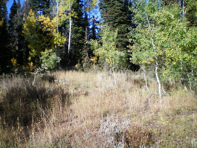
The mostly-forested summit of Peak 8570. No summit views from here. Livingston Douglas Photo
Access
Same as for Smoky Benchmark. This is the third leg of a 3-peak adventure that includes Smoky Benchmark (8,693 feet), Peak 8730, and Peak 8570.
North Face, Class 2
The Climb
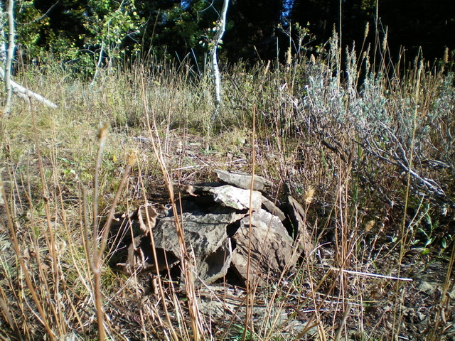
The newly-built summit cairn atop Peak 8570. Livingston Douglas Photo
From the 8,230-foot connecting saddle with Peak 8730, bushwhack south straight up through reasonable pine forest with a grassy understory to reach the west summit of Peak 8570 in open scrub and grass. Bushwhack east through a wicked patch of thick pines and blowdown to find a slightly higher, open hump (the middle/true summit). If you continue east through another miserable patch of pine forest and blowdown, you will reach the east summit, which is five feet lower than the middle summit, according to my altimeter. Each of these three potential high points shares the same final contour line. The middle summit is the true high point. There was no sign of previous ascent, so I built a summit cairn atop the middle summit.
Descent Back to Smoky Canyon Road, Class 2
From the summit, return to the west summit then bushwhack down the north face to the 8,230-foot connecting saddle. Retrace the ascent route for Peak 8730 and Smoky Benchmark. From the 8,509-foot saddle near Peak 8730, you can descend FSR-219 all the way back to Smoky Canyon Road. While this is a longer route than the ascent route, it requires no bushwhacking. If you retrace the ascent route, you can skirt the left/west side of Smoky Benchmark to intercept its north ridge but the side-hilling and forest bushwhacking is difficult in this area. It’s probably best to re-climb Smoky Benchmark and follow the north ridge all the way down to the Smoky Canyon Road area.
Additional Resources
Regions: Peale Mountains->SOUTHERN IDAHO->Webster Range
Mountain Range: Peale Mountains
Longitude: -111.1593 Latitude: 42.6763