Elevation: 8,785 ft
Prominence: 325

This peak is not in the book. Published December 2024
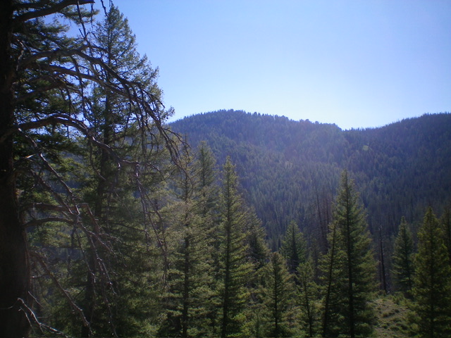
Peak 8785 is a forested hump that sits on a ridgeline that separates Peach Creek from Silver Creek in the Eastern Salmon River Mountains. It is most easily reached from the Silver Creek Trail (FST-4168) and its south ridge. USGS Sunbeam
Access
From ID-75 at Sunbeam, drive north on [signed] Yankee Fork Road for 2.9 miles to the Pole Flat Campground. Continue another 0.8 miles north to an unsigned junction with a 2-track road heading right/east. Drive 0.1 mile east on this 2-track road to a 4-way junction. Continue east on a weak 2-track road that quickly turns left/north.
Follow this 2-track for 0.3 miles to its end at the [unsigned] Silver Creek trailhead. FST-4168 (a MC/foot trail) leaves from here. Park here (6,230 feet and 44⁰19’00”N, 114⁰42’48”W). This is the first leg of a 3-peak adventure that includes Peak 8785, Peak 8903, and Peak 8057. It covers 8.2 miles with 3,700 feet of elevation gain round trip.
South Ridge, Class 2
The Climb
From the trailhead, follow the trail (initially an old 2-track road) and quickly go left at an unsigned junction. Drop to cross Silver Creek on an old, rickety wooden bridge. The old 2-track soon becomes a footpath/MC trail. Follow the trail as it crosses Silver Creek (a small stream) a few times then stays on the creek’s left/north side for a while. The trail has a tedious talus/scree field crossing. The trail then enters a pine forest and crosses to the right/east side of Silver
Creek and climbs well above the creek. The trail later returns to Silver Creek to cross it one final time and ascend east to a high ridgeline. Silver Creek Trail is easy to follow and is used heavily by motorcycles.
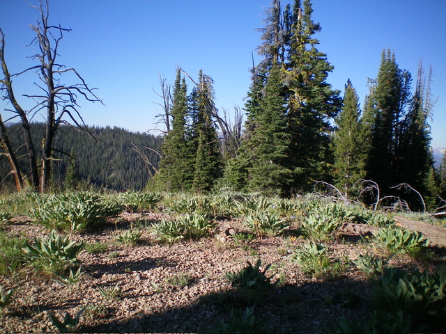
Reach a signed “T” junction with FST-4169 on a high ridgeline at a saddle at 8,460 feet. This is the connecting saddle between Peak 8785 and Peak 8903. Leave the trail and scramble north up a ridge through pine forest then open scrub to reach the open summit hump of Peak 8785. Contrary to the USGS topo map, there are some substantial patches of open terrain alongside the pine forest. The summit had no cairn so I built one with the small stones that I could find. Return to the 8,460-foot connecting ridge saddle. This concludes the first leg of today’s 3-peak journey. Peak 8903 is up next.
Additional Resources
Regions: Eastern Salmon River Mountains->Salmon River Mountains->Southeast Corner Peaks->WESTERN IDAHO
Mountain Range: Eastern Salmon River Mountains
Longitude: -114.6726 Latitude: 44.3109

