Elevation: 8,791 ft
Prominence: 491

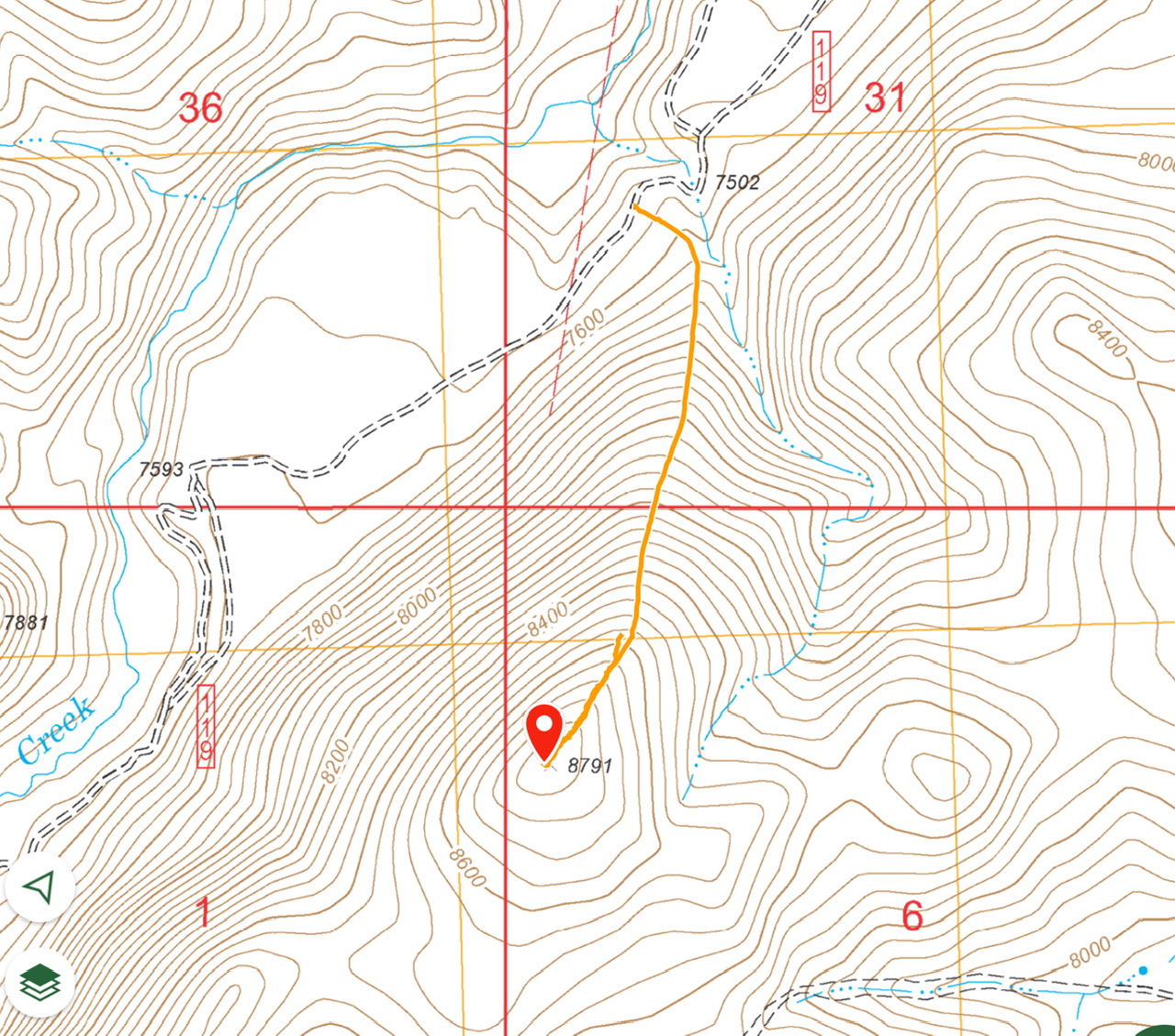
This peak is not in the book. I added my GPS track which covers Livingston’s route. Published November 2024
Peak 8791 is located on the east side of Dry Creek and is due west of Buck Springs in the Lost River Range. It is most easily climbed from Dry Creek Road to its north but can also be climbed from the Buck Springs area to its east. USGS Short Creek

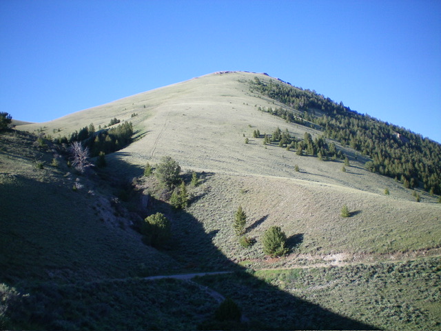
Peak 8791 and its magnificent north ridge (dead center). This was my ascent route. Livingston Douglas Photo
Access
From the unsigned junction of Dry Creek Road and Pass Creek Road, drive 7.3 miles west then northwest then west on Dry Creek Road to an unsigned 3-way road junction. There is a large BLM Burnt Creek Wilderness sign here. Park in a large pullout area at this junction (7,475 feet and 44⁰09’26”N, 113⁰31’35”W).
North Ridge, Class 2
The Climb
From the road junction, walk about ½ mile southwest on rocky, rugged Dry Creek Road to where it crosses the toe of the open (and obvious) north ridge. This spot is just after the road drops 30 feet to cross a dry gully and then climbs back up in elevation. Leave the road here and scramble southeast in easy, short grass/scrub (a little thicker initially) to reach a right-ish/south bend in the ridge. Find a fence row and an old 2-track on its right/west side.
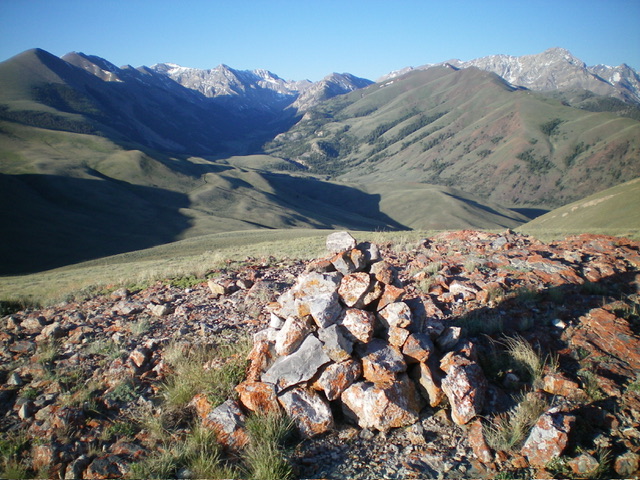
Hike south up the 2-track road. This old 2-track is unmapped and disappears about midway up the ridge. Continue to scramble south then south-southwest up the persistently steep ridge in easy, short grass/scrub. Skirt one or two rocky ridge outcrops and reach a false summit hump. Continue a short distance south to the cairned high point of Peak 8791.
Additional Resources
Regions: EASTERN IDAHO->Lost River Range
Mountain Range: Lost River Range
Year Climbed: 2024
Longitude: -113.5358 Latitude: 44.1418

