Elevation: 8,792 ft
Prominence: 412
This peak is not in the book. Published December 2019
Peak 8792 is a rather nondescript, forested hill. It sits above Big Gulch and is in the shadow of Bear Mountain (10,744 feet). The easiest ascent route is from Big Gulch Road and the east ridge. USGS Moffett Springs

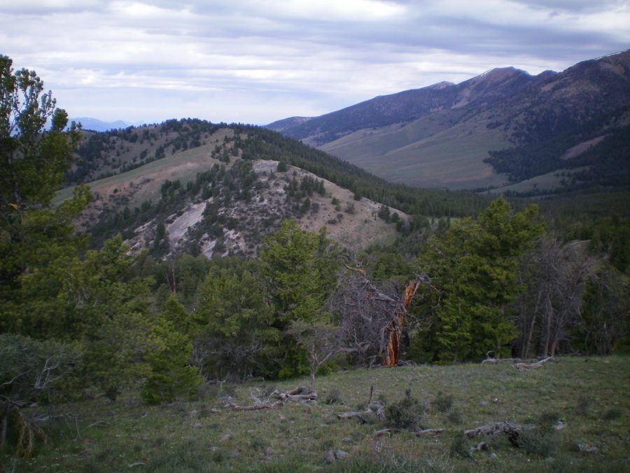
Peak 8792 and its east ridge (left of center). Livingston Douglas Photo
North Face, Class 2
Access
Access is via Big Gulch Road/FSR-099 [(C)(5), p. 317]. Big Gulch Road is located along the Pahsimeroi Highway about a mile north of Summit Reservoir and exactly 6.6 miles south of the major road junction in Goldburg. Drive 3.9 miles up FSR-099 to the [signed] Iron Creek trailhead. Park here (7,870 feet).
The Climb
Hike up Big Gulch Road/FSR-099 for about 0.3 miles to reach a sharp left/east turn in the road at 8,000 feet. Leave the road here and bushwhack directly south and uphill through a pine forest to reach the west summit of Peak 8792. This climb covers ½ mile and 800 vertical feet of uphill. The pine forest is fairly dense and has a lot of blowdown. That being said, the bushwhack goes reasonably well. The summit of Peak 8792 is an open area of scrub/boulders and has scattered pine trees nearby. There is a decent cairn atop the highest boulder.
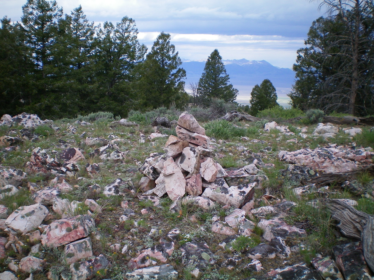
The summit cairn atop Peak 8792. Livingston Douglas Photo
East Ridge, Class 2
Access
Same as for the north face
The Descent
From the summit, follow the undulating ridge east over three ridge humps then drop left-ish/northeast to a beautiful, grassy saddle in a meadow. The ridge terrain is a combination of open forest, grassy fields, and a few rocky outcrops. The scramble is a little tedious but not too bad. The grassy saddle is at 8,380 feet and is not far from FSR-099 to the northeast.
Additional Resources
Regions: EASTERN IDAHO->Lemhi Range
Mountain Range: Lemhi Range
Longitude: -113.48579 Latitude: 44.34279