Elevation: 8,817 ft
Prominence: 398

This peak is not in the book. Published November 2024
Peak 8817 sits southwest of Deer Creek Pass and east of the Wet Creek Drainage in the southern Lost River Range. It is most easily climbed via its northeast ridge from Deer Creek Pass if your vehicle can make it up the rugged 2-track road to the pass. USGS Hawley Mountain

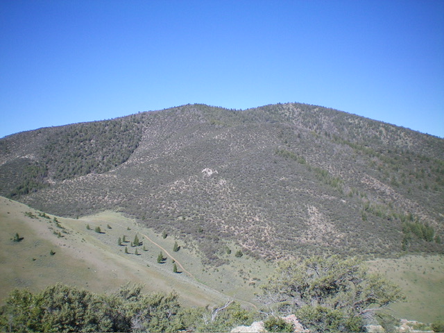
Peak 8817 and its east aspects. The summit hump is hiding behind Point 8616, which is the forested hump left of center. Livingston Douglas Photo
Access
Same as for Peak 7527. This is the second leg of a 2-peak adventure that includes Peak 7527 and Peak 8817. It covers 7.5 miles with 3,000 feet of elevation gain round trip.
East Spur/East Ridge, Class 2
The Climb
From the 7,220-foot connecting saddle with Peak 7527 (Saddle #1), contour west and upward to cross a few dry gullies and work around to reach Saddle #2 at 7,300 feet. The terrain on this saddle-to-saddle section is angled, but easy, scrub with some loose gravel underneath. It goes quickly. Saddle #2 has a weak 2-track road (shown on the USGS topo map) coming up to it from Deer Creek Pass to its north. It also has a fence row across it and a wire gate. The road continues south down into an unnamed drainage.
From Saddle #2, cross to the south side of the cattle fence and find a game trail in the forest of mountain mahogany to the left/south (and visible from the saddle). Stay left/south of a dry gully and a rocky ridge on the right/north side of the gully. The game trail leads you up onto a good shoulder/spur ridge that has some diagonal game trails crossing it. Weave west then northwest through gapped mountain mahogany up to a junction with a high ridge at 8,000 feet.
Go left/southwest here and follow this ridge up through endless mountain mahogany (with some pines mixed in), using sporadic game trails on the ridge crest or near it. Reach Point 8616 (a minor rocky protrusion) which is on a narrow ridge crest. You now get your first glimpse of Peak 8817, which is not far away. The ridge turns hard right/northwest just before reaching Point 8616. Follow the clogged, forested ridge northwest, dropping 75 vertical feet to a forested, ill-defined saddle (Saddle #3).
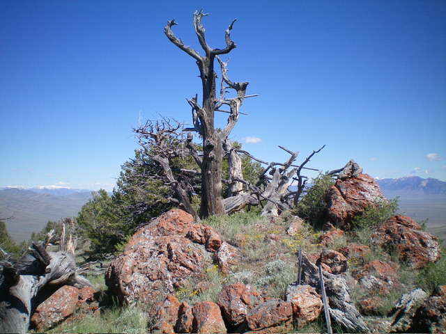
From this saddle, continue west-northwest in gapped mountain mahogany and scrub (plus a few pines). The ridge finally bends right/north to reach the semi-open summit boulder atop Peak 8817. The summit offers a magnificent view of Hawley Mountain. When returning back to Peak 7527 and then back to your vehicle, be very careful to catch the critical ridge turns to reach open Saddle #2. The thick forest often blocks your views. When descending to Saddle #2, aim for a 2-track road (not shown on maps) that climbs from the saddle to Point 7515.
Once back at Saddle #1, follow a weak deer trail that contours across the head of a dry gully to the right/southeast and gets you east over onto the southeast ridge of Peak 7527. Refer to the Peak 7527 page for details on the descent of the Southeast Ridge/East Spur Route.

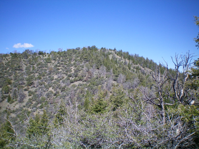
The forested summit hump of Peak 8817 as viewed from Point 8616 to its southeast. Livingston Douglas Photo
Additional Resources
Regions: EASTERN IDAHO->Hawley Mountains->Lost River Range
Mountain Range: Lost River Range
Longitude: -113.3623 Latitude: 44.0630
