Elevation: 8,910 ft
Prominence: 530
This peak is not in the book. Published November 2023
Peak 8910 is a ridgeline hump on the long west ridge of Peak 9681, which sits high on the Continental Divide to its east. The shortest route to the summit is via the north spur and the west ridge. USGS Shewag Lake
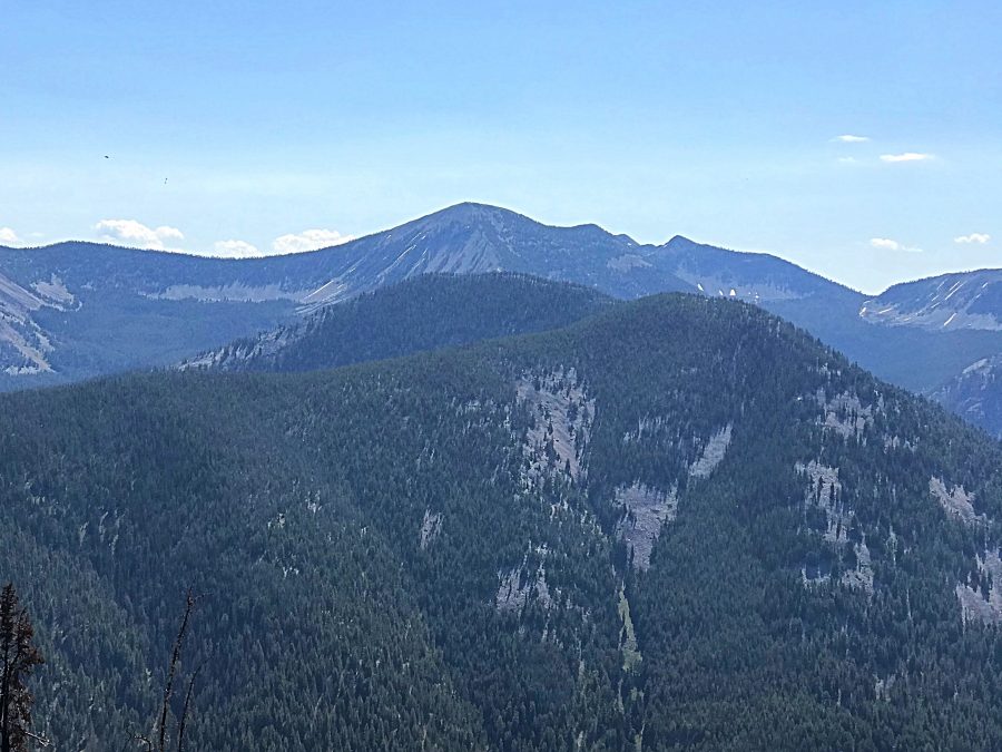
Peak 9681 on the horizon and Peak 8910 in the foreground viewed from N Mountain.
Access
From US-93 north of Salmon, turn right/northeast onto [signed] Fourth of July Creek Road/FSR-071 [(A)(2) on Page 328] and drive 10.4 miles to a [signed] junction with FSR-256 on a high ridge crest. Turn right/southeast onto FSR-256 and drive 0.2 miles to an unsigned junction with an old 2-track road (not shown on maps) and park in a large pullout at the junction (7,605 feet). This is the starting point for my ascent route.
If possible, drive another 0.7 miles on FSR-256 to a road fork/junction with a [signed] ATV trail (FST-6129). Continue right for 0.1 miles on FSR-256 to an old cabin and a sharp right/west turn in the road. Park in a large parking area here (7,750 feet). The latter parking area is relevant to my descent route.
Map Errors
FSR-256 actually goes up onto the north spur of Peak 8910, which gives ready access to an old 2-track ridge road (not shown on maps). The USGS topo map incorrectly shows FSR-256 on the east side of the north spur at this departure point. FSR-256 does move to the left/east side of the north spur after this point.
North Spur/West Ridge, Class 2
The Climb
From the pullout at the base of the old 2-track side road, hike south up the overgrown 2-track to reach its quick, untimely end. From there, bushwhack south then south-southeast up the well-defined spur ridge up to the juncture high up with the west ridge at Point 8800+. The terrain on the north spur is a fir forest with some understory and downed timber. Overall, it is not too bad. Early on, the north spur is a bit tedious due to fallen trees.
Cross an old jeep road (shown on the USGS topo map) at 8,000 feet where it crosses the north spur. Once on the west ridge, scramble east up this tedious mess of rock and firs on a narrow, up-and-down ridge crest to reach the final ridge saddle. The ridge bends left-ish/northeast at this saddle. Bushwhack northeast from the saddle up through a reasonable fir forest to reach the cairned summit. The summit is semi-open so views are limited.
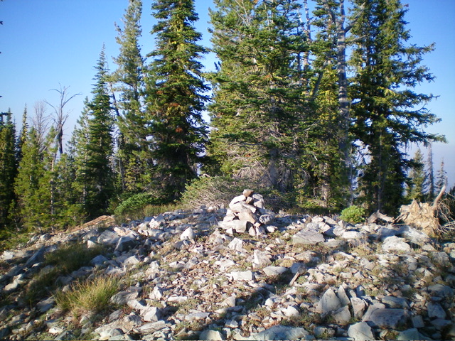
The summit of Peak 8910. Livingston Douglas Photo
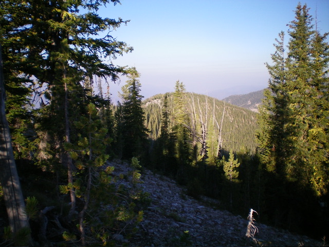
Looking along the west ridge from the summit. Point 8800+ is in the distance and is at the top of the north spur. Livingston Douglas Photo
North Spur/West Ridge Variation, Class 2
The Descent
Return down the ascent route to the jeep road crossing at 8,000 feet. Follow the jeep road southeast for about ½ mile to an old cabin and a sharp left/north turn in the road. The jeep road has a lot of deadfall on it and is not drivable above the cabin. From the cabin, follow the road (FSR-256) north then northwest then north back for about 0.8 miles to return to the unsigned road junction at the start of the climb. While the descent route is a bit longer than the ascent route, it requires less bushwhacking.
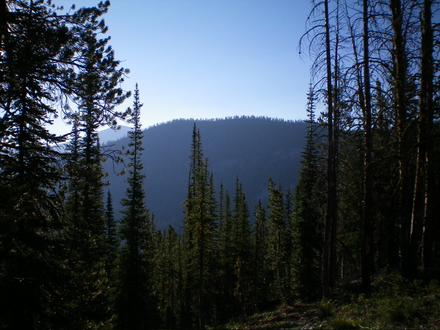
Forested Peak 8910 as viewed from the north spur to its northwest. Livingston Douglas Photo
Additional Resources
Regions: Beaverhead Range->EASTERN IDAHO
Mountain Range: Beaverhead Range
Longitude: -113.8096 Latitude: 45.4376