Elevation: 8,992 ft
Prominence: 327

This peak is not in the book. Published November 2024
Thanks to LiDAR, Peak 8992 is now a ranked summit. It separates Squaw Creek from Massacre Creek. Peak 8992 is a bump on the northeastern ramparts of massive Massacre Mountain (10,928 feet). USGS Massacre Mountain
Access
Same as for Peak 8387. This is the second leg of a 3-peak adventure that includes Peak 8387, Peak 8992, and Peak 8986. It covers 8.3 miles with 3,475 feet of elevation gain round trip.
Map/Informational Errors
LOJ fails to show the BLM road heading east from just north of Buck Springs and down a drainage that leads to Squaw Creek. LOJ shows the HP of Peak 8986 as the west summit hump but the east summit hump is five feet higher and has a large summit cairn. The NF map shows a block of private land in the Buck Springs area. However, it appears to now be BLM land and seems to be open to the public.
North Ridge, Class 2
The Climb
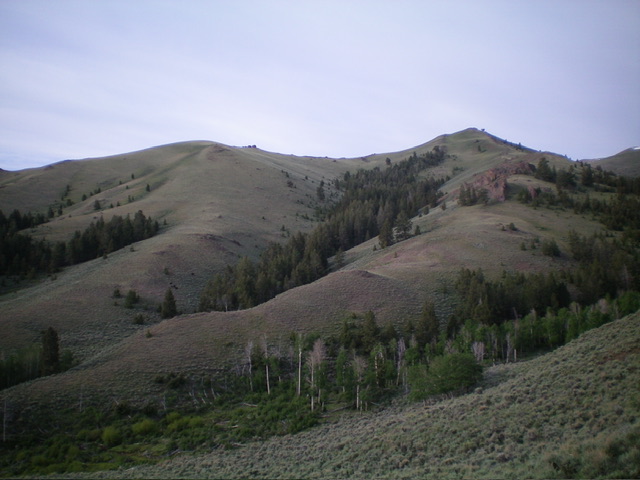
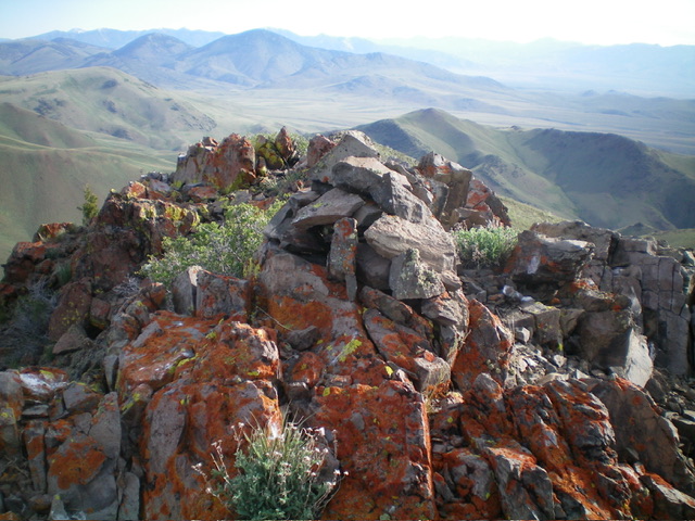
From the Squaw Creek drainage at the toe of the north ridge, scramble south-southwest up the short scrub of the ridge. Skirt the right/west side of two or three ridge outcrops/blocks early on. Higher up, the ridge bends left-ish/south and continues to the rocky summit hump. The high point is the second of two rocky humps that are not far apart. The rocky summit perch is small and had no summit cairn so I built one.
Northwest Face, Class 2
The Descent
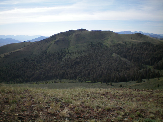
From the summit, descend north briefly to the gap between the high point and the [lower] north summit hump. From there, descend northwest down a face of loose, steep grass and scree (a lot of scree) to reach grass slopes on a face/shoulder. Continue northwest down through a delightful patch of gapped pine forest to reach the headwaters of Squaw Creek. Cross the small creek on a cattle trail amongst the creek-side willows. This is the low point in the traverse from Peak 8992 to Peak 8986. It concludes the second leg of today’s 3-peak journey. Peak 8986 is up next.

Peak 8992 (summit is right of center) as viewed from the north. I ascended the rounded ridge right of center. Squaw Creek is in the foreground. Livingston Douglas Photo
Additional Resources
Regions: EASTERN IDAHO->Lost River Range
Mountain Range: Lost River Range
Longitude: -113.5140 Latitude: 44.1095

