Elevation: 9,040 ft
Prominence: 676

This peak is not in the book. The unorthodox name was suggested by Rick Baugher who climbed the peak in 2006. Published November 2024
Peak 9040 is located above Basin Creek to its west and above the headwaters of the North Fork Deer Creek in the southern Lost River Range. Peak 8817 is just to its northeast on the same ridgeline. Peak 9040 is most easily climbed via an old jeep road that comes up from Wet Creek. USGS Warren Mountain

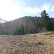
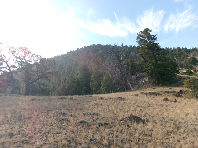
Peak 9040 (forested hump in dead center) as viewed from high on the northwest ridge. Livingston Douglas Photo
Access
Pass Creek Summit Road/FSR-122 [(D) on Page 294 of the Book]. From US-93 exactly 7.4 miles south of Main Street in Mackay (and 18.3 miles north of the junction of US-93 and US-20 in Arco), turn north onto [signed] Pass Creek Summit Road/FSR-122 and reset your odometer. At 11.5 miles, reach Pass Creek Summit and a cattle guard crossing. Continue another 5.5 miles north-northeast on Pass Creek Summit to a cattle guard crossing (and fence row). This fence row has an unmapped 2-track road on its right/southwest side.
Turn right/southeast onto this 2-track road and reset your odometer. You will need a 4WD vehicle with decent ground clearance and good tires from this point. Follow this 2-track road down to a lower bench. Continue straight (ignore a side road to the right/south) and drop steeply down to an even lower bench that heads right/south along the west side of Wet Creek. Quickly reach an unsigned junction. Go left/east onto a spur road that descends to Wet Creek and fords it.
Park on the east side of Wet Creek at an immediate, unsigned junction with another 2-track road near the creek crossing (this north-south road is shown on the USGS topo map). This junction is 0.4 miles from Pass Creek Summit Road and is at 6,750 feet and 44⁰04’48”N, 113⁰24’07”W). From this junction, the 2-track road heading southeast (and leading almost to the summit of Peak 9040) is only suitable for Jeeps and ATVs.
Map Errors
The USGS topo map fails to show the 2-track road coming southeast along the fence row from Pass Creek Summit Road. It also fails to show the road segment that crosses to the east side of Wet Creek. The USGS topo map fails to show the full extent of the 4WD road that climbs up the northwest ridge of Peak 9040. It only shows the road reaching Point 8406. In actuality, the 4WD road continues south up over the ridge crest and descends to God-Knows-Where. The USGS topo map understates the elevation of this peak since there is sizable area above the final 9,040-foot contour line. Hopefully, LiDAR will rectify this oversight.
Northwest Ridge/West Face, Class 2
The Climb
This climb is mostly Class 1. From the unsigned junction, hike southeast up the jeep track as it heads up a dry gully. The rugged road then bends right-ish/south up onto the northwest ridge. The 2-track soon bends left-ish/southeast and climbs farther up the open scrub ridge. Higher up, the road bends right-ish/south again and climbs steeply to about 8,200 feet. The 2-track road then heads sharply left-ish/southeast and climbs to Point 8406 (map).
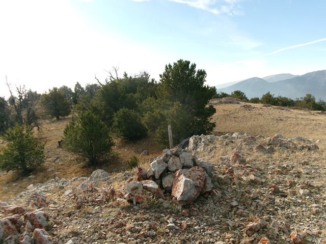
From Point 8406, the road bends right-ish/south and continues steeply uphill to a ridge crossing and crest in the road at about 8,680 feet. Leave the road here and scramble east up an easy, semi-open ridge (of sorts) with scattered pines, a little deadfall, field grass, and scattered scrub. This ridge leads directly to the large summit cairn at the northwest end of the summit plateau. The ridge on the west face is barely perceptible on the USGS topo map but it much more pronounced in actuality.
I investigated the remainder of the summit plateau and confirmed that this cairned high point is the true high point of Peak 9040. The descent down the steep 2-track road on the northwest ridge is blisteringly fast. This is, without a doubt, the easiest way to the top of Peak 9040.
Additional Resources
Regions: EASTERN IDAHO->Hawley Mountains->Lost River Range
Mountain Range: Lost River Range
Longitude: -113.3806 Latitude: 44.0521

