Elevation: 9,080 ft
Prominence: 420

This peak is not in the book. Published November 2024
Toolbox Peak is a ranked bump that sits on the lengthy south ridge of Herd Peak (9,860 feet) in the Boulder Mountains. This ridgeline separates Toolbox Creek from Chicken Creek. Toolbox Peak is most easily climbed from the nearby Toolbox Creek Trail. Its north ridge is quite rocky, forested, and ugly. Avoid it. USGS Herd Peak

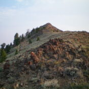
Toolbox Peak as viewed from the northwest on the connecting ridge to Herd Peak. Livingston Douglas Photo
Access
North Fork Big Lost River Road/FSR-128 [(B)(2) on Page 242 of the Book]. From Trail Creek Road, drive 6.4 miles northwest then west up North Fork Big Lost River Road, turn right/north onto the unsigned Toolbox Creek spur road. Drive 0.1 miles to the end of the road and a parking area (7,465 feet and 43⁰56’40”N, 114⁰14’21”W).
Map Errors
Maps fail to show the spur road that leads up to the mouth of Toolbox Canyon. Maps also misposition the Toolbox Creek Trail, which crosses to the left/west side of Toolbox Creek a very short distance above the trailhead, NOT almost ½ mile up the trail at 7,720 feet as the maps show. In addition, maps show the Toolbox Creek Trail climbing directly up to Point 9333 when, in fact, the trail climbs west to a ridge saddle at 8,820 feet. Maps fail to show the other trails on the ridges on the west side of Toolbox Canyon.
Southwest Shoulder/South Ridge, Class 2
The Climb
From the parking area at the mouth of Toolbox Canyon, hike north up [unsigned] Toolbox Creek Trail/FST-051. The trail quickly crosses to the left/west side of [small] Toolbox Creek. It is probably best to leave the trail just before it crosses the creek and scramble north then northeast up the pine-and-scrub ridgeline (southwest shoulder), the toe of which is right there and is easy to access. But that is not what I did. Hike a bit farther up the trail to just over 7,600 feet. Leave the trail and cross to the right/east side of Toolbox Creek in an open area free of willows.
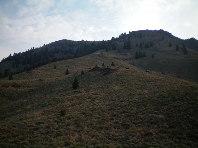
Bushwhack east up a steep scrub slope to quickly reach the crest of the southwest shoulder. Follow this scrub shoulder north then north-northeast then northeast up to the juncture with the south ridge. There are some minor rocky outcrops on the upper, steeper section of the southwest shoulder. Skirt the left/west side of the south summit hump as you approach the crest of the south ridge. Scramble north-northwest up the ridge and climb over (or around) a few rocky ridge outcrops to reach the high point of Toolbox Peak. The summit has a small cairn, which I built up. The high point is on the ridge crest and is obvious.

Toolbox Peak (summit is the hump left of center) and the southwest shoulder (center). This was my ascent route. The skyline right of center is the south ridge. Livingston Douglas Photo
Additional Resources
Regions: Boulder Mountains->EASTERN IDAHO
Mountain Range: Boulder Mountains
Longitude: -114.2335 Latitude: 43.9575
