Elevation: 9,105 ft
Prominence: 485

This peak is not in the book. Published November 2022
Peak 9105 and its sister peak (Peak 8930) are tucked in between Adams Gulch and the Rooks Creek drainage in a seldom-visited part of the Smoky Mountains. They are most easily climbed together from Warm Springs Road to the south. USGS Griffin Butte
Access
Same as for Peak 8930. This is the second leg of a 2-peak adventure that includes Peak 8930 and Peak 9105.
Southeast Ridge, Class 2
The Climb
From the 8,620-foot connecting saddle with Peak 8930, scramble west then northwest then north up the ridge to the summit in open, relatively easy vegetation with a narrow, rocky ridge finish. The ridge makes a few bends on its way to the top.The summit cairn is on the northernmost rocky outcrop. The USGS topo map suggests that the high point is the uncairned, gentler hump about 100 feet to its south. I stood on both potential summits and my altimeter showed them of equal height so it’s anybody’s guess. Visually, there is no obvious winner. Descend the southeast ridge then climb the northwest ridge of Peak 8930. From the summit of Peak 8930, descend the South Ridge/West Fork Gulch Route back to FSR-049 and your parked vehicle.

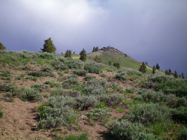
Looking up the south ridge at the rocky summit of Peak 9105 (right of center). Livingston Douglas Photo
Additional Resources
Regions: Smoky Mountains->WESTERN IDAHO
Mountain Range: Smoky Mountains
Longitude: -114.49001 Latitude: 43.71169
