Elevation: 9,108 ft
Prominence: 288

This peak is not in the book. Published December 2024
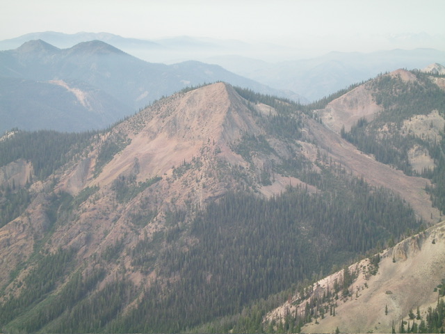
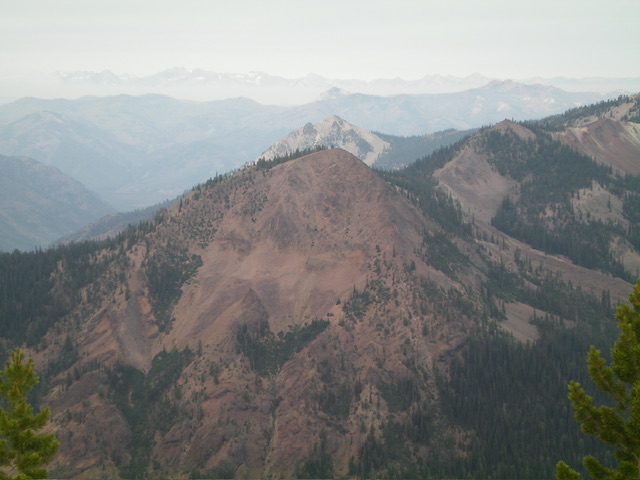
Peak 9108 is an unranked hump on the east ridge of Mount Greylock (9,857 feet). It is mostly forested but has a steep, rocky northeast face (see photo). Peak 9108 can either be climbed in conjunction with Mount Greylock or directly from Yankee Fork Road to its southeast. USGS Custer

Peak 9108 (dead center) and its north ridge (dead center, coming at the camera) as viewed from Peak 9621 to its northeast. Livingston Douglas Photo
Access
For the West Ridge Route, the access is via Mount Greylock. For the East Ridge Route, the access is from Yankee Fork Road/FSR-070 (6,750 feet) at a bridge crossing of the Salmon River. This bridge crossing is 0.6 miles northeast of the [signed] Fivemile Creek trailhead and 0.3 miles southwest of the [signed] bridge crossing of Greylock Creek. Please note that my route descriptions for this peak are based on visual reconnaissance and topo map analysis.
West Ridge, Class 2+
The Climb
From Mount Greylock, follow the undulating, mostly-forested ridge eastward. Skirt the right/south side of Point 9167 then bushwhack down through pine forest to a connecting saddle at 8,820 feet. Scramble east then northeast to the open summit.
East Ridge, Class 2
The Climb
From the bridge crossing, bushwhack northwest in open terrain to the ridge crest. Skirt underneath the south side of Point 7425 then past another minor ridge hump. Continue west up the forested ridge then angle right-ish/northwest in open rock to reach the open summit perch.
Additional Resources
Regions: Eastern Salmon River Mountains->Salmon River Mountains->Southeast Corner Peaks->WESTERN IDAHO
Mountain Range: Eastern Salmon River Mountains
Longitude: -114.6781 Latitude: 44.4180
