Elevation: 9,191 ft
Prominence: 371

This peak is not in the book. Published November 2024
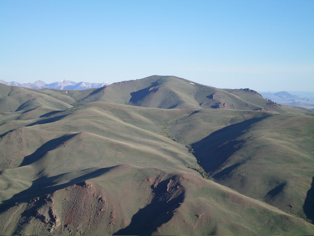
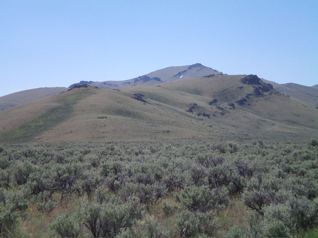
Peak 9191 is an overlooked summit. It is located between the Donkey Hills and the main crest of the Lost River Range. It is most easily climbed from Short Creek Road to its west. USGS Short Creek
Access
From its signed junction with Lower Dry Creek Road, drive west on Long Creek Road (which becomes Donkey Hills Road)for 5.6 miles to a signed junction with BLM-150/Short Creek Road. This junction is 0.6 miles west of Elkhorn Creek Road (see Access Section for Donkey Hills HP). Turn left/south onto Short Creek Road and drive 2.8 miles on this narrow, rugged 4WD road to reach a patch of aspens and a stream crossing. Park/camp here (7,955 feet and 44⁰10’28”N, 113⁰36’19”W). You may be able to drive a bit farther along Short Creek Road to shorten this climb, depending upon road conditions. However, parking pullouts are scarce.
Map Errors
The USGS topo map incorrectly positions Short Creek Road. The road eventually rises well above Short Creek and goes much farther up Short Creek, as per the National Forest map. The USGS topo map shows several jeep roads near Short Creek Road that no longer exist. Short Creek Road is a poorly-maintained 2-track road that is overgrown, rocky in sections, rutted in other sections, and narrow with very few areas to pull out or turn around. Be advised.
West Spur/Northwest Ridge, Class 2
The Climb
From the grassy parking/camping spot, follow Short Creek Road for about ½ mile east then southeast down to the west side of Short Creek. Leave the road and follow a cattle trail down to Short Creek and through the willows to reach the toe of the [obvious] west spur. The descent from the parking spot to Short Creek is just over 175 vertical feet. Once across the small stream, scramble southeast up the scrub at the base of the west spur. The west spur is a combination of easy, short grass/scrub and underlying loose scree/gravel.
Reach a sharp left/northeast bend in the west spur. The ridge terrain is now a mix of scrub and ground talus/strata. It is mostly talus/scree scrambling and it goes easily. As you approach the merger with the northwest ridge, angle diagonally right/southeast to reach the ridge at a saddle. From the saddle, follow the meandering northwest ridge southeast then east then southeast to the open summit hump. There are a few elk trails early on to assist in the ridge climb. Skirt the right/south side of a few rocky ridge outcrops high up. The summit has triangulation wreckage and a modest cairn.
Additional Resources
Regions: EASTERN IDAHO->Lost River Range
Mountain Range: Lost River Range
Longitude: -113.5815 Latitude: 44.1677


