Elevation: 9,205 ft
Prominence: 308

This peak is not in the book. The map elevation is 9,196 feet. Published December 2024
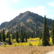
Thanks to LiDAR, Peak 9205 is now a ranked summit. It is a rugged, rocky hump that towers above Bloomington Lake to its east. Peak 9205 is most easily climbed via a hike up FST-372 then a scramble up the rocky, narrow west ridge. USGS Paris Peak
Access
From US-89 at the south end of Bloomington, turn west onto [signed] Bloomington Canyon Road/FSR-409 and follow it for 11.1 miles to its end at the Bloomington Lake trailhead parking area. This parking area is at 8,212 feet and 42⁰08’57”N, 111⁰35’01”W. FSR-409 is smooth for the first four miles but it becomes much rougher and rockier higher up. A 4WD with good tires and medium clearance is required to make it to the trailhead.
West Ridge, Class 3
The Climb
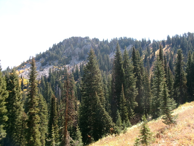
From the trailhead parking lot, head southwest up an old jeep road (shown on the USGS topo map) that soon becomes a foot/MC trail (FST-372). This trail climbs steeply southwest then south to cross the west ridge of Peak 9205 after about ¾ mile. Leave the trail here (just above a signed trail junction) and scramble southeast then east up the narrow, rock-and-brush ridge. Early on, the ridge has open areas and is not difficult. Higher up, the ridge narrows and steepens.
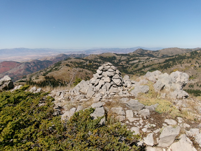
Skirt the right/south side of steep ridge rock higher up and eventually reach the high point from the south face. The west ridge is a tedious mix of Class 3 ridge rock with brush mixed in. Some of the ridge outcrops/blocks are much worse than Class 3 and must be skirted on face rock and boulders on the right/south side of the narrow ridge crest. The high point is open and had a large, torn-down cairn so I rebuilt it. The summit offers a stunning view of the two Bloomington Lakes.

Peak 9205 (summit is left of center) and its rocky west ridge (skyline right of center). This was my ascent route. Livingston Douglas Photo
Additional Resources
Regions: Bear River Range->SOUTHERN IDAHO
Mountain Range: Bear River Range
Longitude: -111.58273 Latitude: 42.14333

