Elevation: 9,209 ft
Prominence: 389

This peak is not in the book. Published December 2024
Peak 9209 and its neighbor (Peak 9380) sit on a high ridgeline that separates Twelvemile Creek from the headwaters of the Yankee Fork of the Salmon River. It is most easily climbed from Yankee Fork Road to its southeast. Peak 9209 sees few visitors. USGS Challis Creek Lakes
Access
Same as for Peak 9380. This is the second leg of a 3-peak adventure that includes Peak 9380, Peak 9209, and Peak 9323. It covers 11.0 miles with 4,075 feet of elevation gain round trip. This is a burn area so take appropriate precautions.
Northeast Ridge, Class 2
The Climb
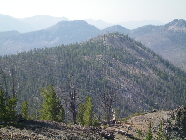
From the 8,780-foot connecting notch with Peak 9380, climb steeply northwest up a narrow ridge crest of grass/scrub, blowdown, and loose gravel to about 8,950 feet. Contour west underneath Point 9052 to reach Saddle #2 at about 8,950 feet. The low point of this saddle is well west of the initial flattish saddle area that you encounter on your traverse to here. This low point sits at the base of the northeast ridge of Peak 9209 in a forest of both live pines and snags.
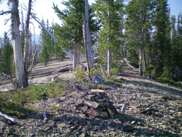
From the low point/saddle, scramble west then southwest then south up the ridge on the left/southeast edge of the ridge crest in open terrain (gravel) that is on the edge of a live pine forest. When the ridge blowdown becomes onerous, stay in the forest. The summit of Peak 9209 is on a ridgeline in semi-open terrain. There were no signs of previous ascent, so I built a decent, dinner-plate cairn on the high point.
Northeast Ridge/North Face, Class 2
The Descent
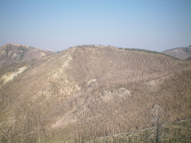
From the summit, return down the northeast ridge to Saddle #2 at about 8,950 feet. From there, bushwhack north-northwest and descend down through a thick forest of live pines, some snags, and lots of blowdown to find a hidden saddle (Saddle #3) with a decent hiking trail coming up across it (as shown on the USGS topo map). This saddle is semi-open without much blowdown. This is the 8,820-foot connecting saddle with Peak 9323. It concludes the second leg of today’s 3-peak journey. Peak 9323 is up next.
Additional Resources
Regions: Eastern Salmon River Mountains->Salmon River Mountains->Southeast Corner Peaks->WESTERN IDAHO
Mountain Range: Eastern Salmon River Mountains
Longitude: -114.6096 Latitude: 44.5110


