Elevation: 9,315 ft
Prominence: 600

This peak is not in the book. Published July 2020
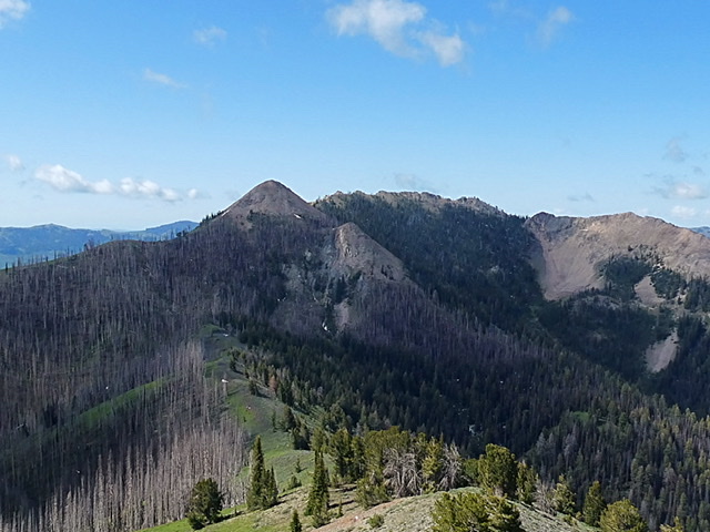
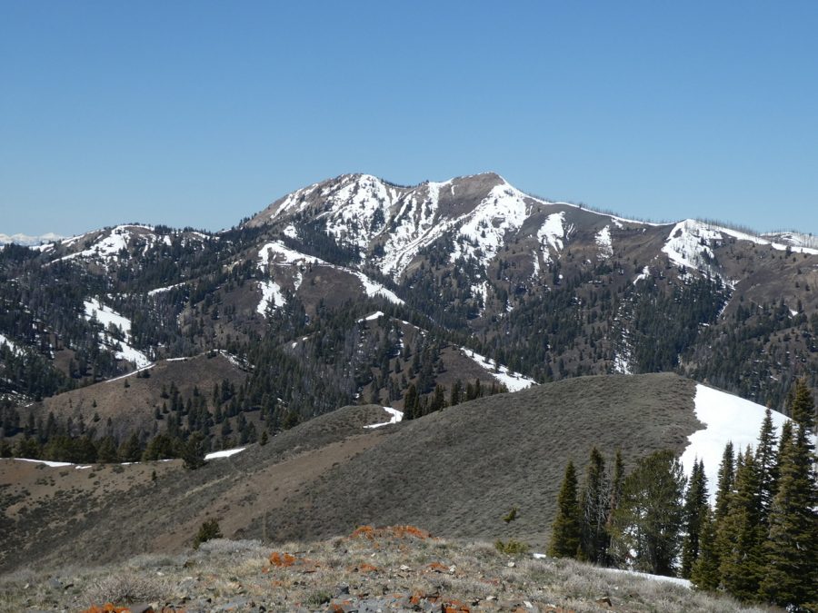
This interesting cone-shaped peak is located just south of Dollarhide Summit west of Ketchum, Idaho. USGS Dollarhide Mountain
Access
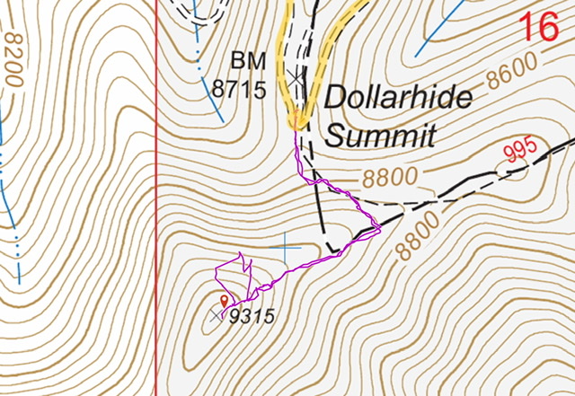
FS-227/Warm Springs Creek Road [(A)(7) on Page 214]. Google Maps gives directions to the summit from Ketchum and Fairfield, Idaho. There is parking on the north side of the pass.
Northeast Ridge, Class 2
FST-995 leaves Dollarhide Summit and quickly climbs up to the peak’s northeast ridge. FST-995 reaches a junction with an unofficial trail that heads up the east ridge to the base of the summit cone. Follow this trail. Once the trail ends, a climbers trail zigzags up the northeast ridge to the top. Round trip from the pass is 1.1 miles with 630 feet of elevation gain.
Additional Resources
Regions: Smoky Mountains->WESTERN IDAHO
Mountain Range: Smoky Mountains
Year Climbed: 2020
Longitude: -114.68509 Latitude: 43.58929


