Elevation: 9,319 ft
Prominence: 339

This peak is not in the book. Published November 2021
Peak 9319 is located due north of Mill Creek Summit and southeast of Summit Rock (9,333 feet). It is most easily climbed in conjunction with nearby Summit Rock. USGS Bayhorse Lake
Access
This is the first leg of a 2-peak adventure that includes Peak 9319 and Summit Rock. It covers 3.0 miles with 1,375 feet of elevation gain round trip.
From the junction of US-93 and Main Street in Challis, drive west on Main Street (which becomes Garden Creek Road) for 4.9 miles to a signed junction with the Custer Motorway/FSR-070. Turn right onto the Custer Motorway and reset your odometer. At 1.7 miles, reach the Challis National Forest boundary. At 8.9 miles, reach the Mill Creek Campground. At 12.0 miles, reach [signed] Mill Creek Summit. At 13.1 miles, park in a pullout for a dispersed campsite on the left side of the road (8,350 feet). GPS coordinates: 44⁰29’14”N, 114⁰29’50”W. This is a point on the Custer Motorway that is just below the connecting saddle between Summit Rock and Peak 9319. This saddle is visible as you descend on the Custer Motorway from Mill Creek Summit.
West Face/Northwest Ridge, Class 2
The Climb
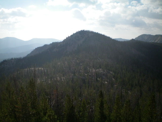
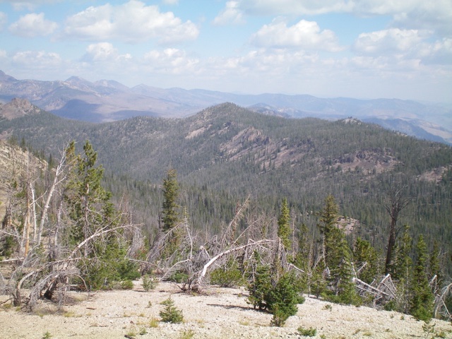
From the Custer Motorway, bushwhack northeast directly up the forested face in fairly steep terrain with lots of blowdown. Higher up, head east to reach the ridge crest well east of the 8,980-foot connecting saddle. Once on the ridge crest, scramble southeast over a ridge hump and drop 25 vertical feet to a gravelly saddle. Continue southeast up the forested ridge amongst ridge boulders, rocky ridge outcrops, and a gravel base to reach the forested ridge crest summit of Peak 9319. The summit has a tall summit cairn hidden in the ridge pines.
From the summit, descend back down the northwest ridge and bash through a wide, flat, forested saddle with copious blowdown and some hidden boulders and gravel/sandy areas. This is the 8,980-foot connecting saddle with Summit Rock and concludes the first leg of today’s 2-peak journey. Summit Rock is up next.

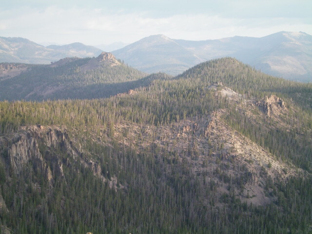
Peak 9319 (right of center) as viewed from the southeast. Summit Rock (9,333 feet) is to the left of center. Livingston Douglas Photo
Additional Resources
Regions: Eastern Salmon River Mountains->Salmon River Mountains->Southeast Corner Peaks->WESTERN IDAHO
Mountain Range: Eastern Salmon River Mountains
Longitude: -114.48749 Latitude: 44.48759


