Elevation: 9,330 ft
Prominence: 484

This peak is not in the book. Published November 2024
Peak 9330 is a ranked bump on the lengthy southwest ridge of McGowan Peak (10,721 feet). It is most easily climbed via its [mostly-open] south ridge via a sagebrush traverse from nearby McGowan Creek Road. USGS Grouse Creek Mountain
Access
Same as for McGowan Peak (10,721 feet). This is the second leg of a 2-peak adventure that includes McGowan Peak and Peak 9330. It covers 6.8 miles with 4,500 feet of elevation gain round trip.
Northeast Ridge, Class 3
The Climb
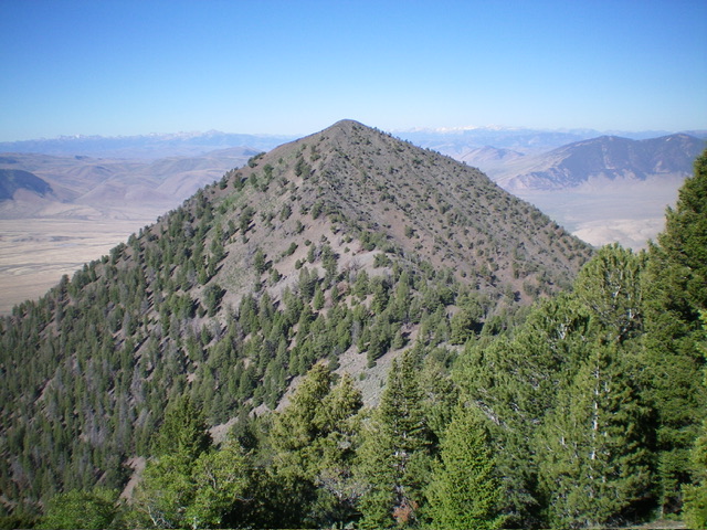
From the 8,846-foot connecting saddle with McGowan Peak, scramble up the surprisingly-steep northeast ridge of Peak 9330 to the summit. This ridge is narrow and rocky. It goes at Class 3 but looks easier than that from a distance (see photo). The summit of Peak 9330 is on a ridge corner. I repositioned the small summit cairn and built it up substantially.

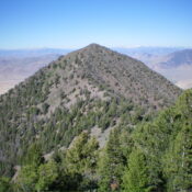
Peak 9330 and its northeast ridge (dead center, coming at the camera). This was my ascent route. Livingston Douglas Photo
Northwest Ridge/West Face, Class 3
The Descent
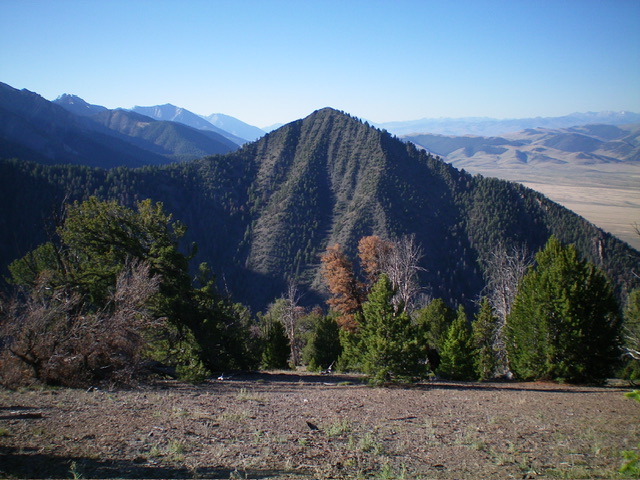
From the summit, descend northwest (briefly) then west down the ridge to about 8,700 feet, where the ridge bends right-ish/northwest. Skirt numerous ridge pines and blowdown on angled scree/gravel as you descend. Leave the ridge crest at about 8,450 feet and descend left/west down the “easier” west face [the northwest ridge has a wicked cliff band at just under 8,200 feet that could be problematic on the descent.
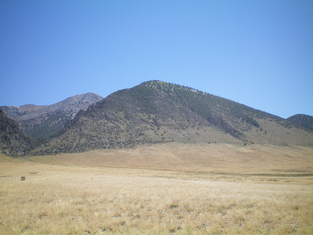
The west face is steep and very loose. The terrain is [initially]pines and brush with a loose scree/gravel base. It is tedious and unpleasant. You will be grabbing onto tree branches and scrub to brake your descent (Class 3). Midway down, mountain mahogany join the mix and make the descent even more difficult. Once you reach the open field grass below, you will be relieved. Head right/northwest across the easy grass to return to McGowan Creek Road and your parked vehicle.
Additional Resources
Regions: EASTERN IDAHO->Lost River Range->Pahsimeroi Range
Mountain Range: Lost River Range
Longitude: -113.9907 Latitude: 44.3410

