Elevation: 9,334 ft
Prominence: 251

This peak is not in the book. Published December 2024
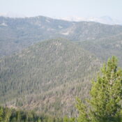
Peak 9334 is an unranked hump on the lengthy connecting ridge between Rough Peak (9,673 feet) and Lookout Mountain (9,954 feet). It is the high point and sits about midway between the two ranked summits. Peak 9334 can be easily reached from FST-647 to its west or from FST-617 and FST-647 to its northeast. USGS Casino Lakes
Access
Same as for Rough Peak. This is the second leg of a 2-peak adventure that includes Rough and Peak 9334. It covers 10.8 miles with 2,575 feet of elevation gain round trip.
Map Errors
The USGS topo map misplaces the first crossing of Rough Creek. The actual crossing is on a nice footbridge and is about 0.2 miles upstream from the map’s placement. The map also fails to show the footbridge across Rough Creek here. The Adventure Maps trail segment mileage figures appear to be slightly understated by about 0.1-0.2 miles for each segment.
West Ridge, Class 2
The Climb
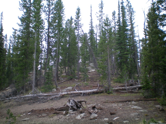
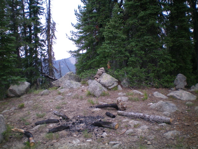
This climb is mostly Class 1. From the 9,060-foot connecting saddle with Rough Peak (where FST-616 crosses the ridge crest), follow FST-616 briefly northeast to its signed junction with FST-647. Head east on FST-647 as it follows the ridge crest past the north side of Point 9162. The ridge (and trail) soon bend left-ish/northeast and climb up the ridge crest. FST-647 skirts the northwest side of Peak 9334. When the trail crests, leave it and bushwhack right/east to the semi-open, forested summit of Peak 9334. The summit has a fire ring near its high point (a large boulder). There are two rocky outcrops (ridge boulders) nearby to the northeast that might also qualify as the high point but, in my judgment, the ridge is already beginning its descent by that point. Stand atop both potential high points “just to be sure.”

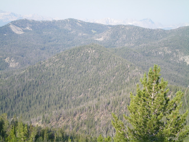
The forested summit hump of Peak 9334 as viewed from high on the northeast ridge. This was my descent route. Livingston Douglas Photo
Northeast Ridge, Class 2
The Descent
This descent is mostly Class 1. From the summit, bushwhack north-northeast down the narrow ridge crest in pine forest and ridge rock. Find FST-647 to the west of the ridge crest in open terrain. Follow FST-647 northeast down to its signed junction with FST-617 at an open ridge saddle. Go hard left/southwest onto FST-617 and follow it steeply down to its signed junction with FST-647. FST-617 is a steep, very rocky trail with many switchbacks but it is only 0.6 miles long. At the signed junction, head right/north onto FST-647 and follow it for 2.8 miles back to the Rough Creek trailhead.
Additional Resources
Regions: EASTERN IDAHO->White Cloud Mountains
Mountain Range: White Cloud Mountains
Longitude: -114.78159 Latitude: 44.18195

