Elevation: 9,365 ft
Prominence: 385

This peak is not in the book. The name was suggested by Rick Baugher who climbed the peak in 2007. Published November 2024
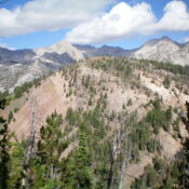
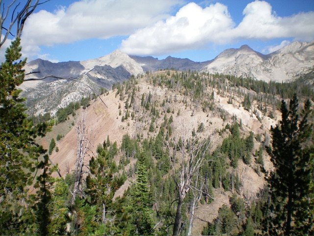
Peak 9365 is a ranked bump on the lengthy north ridge of Peak 10096/Copper Trail Peak. It sits above the headwaters of both Pot Creek and Bear Creek in the Pioneer Mountains. Peak 9365 is most easily climbed from the White Mountain Trail/FST-043 at a pass to its east. USGS Star Hope Mine
Access
Same as for Peak 10096/Copper Trail Peak. This is the second leg of a 2-peak adventure that includes Peak 10096 and Peak 9365. It covers 11.0 miles with 3,175 feet of elevation gain round trip.
Map Errors
The USGS topo map lacks trail numbers for the multiple hiking trails in this area. The trail numbers on the Adventure Maps Trails Map are completely wrong except for the Bear Canyon Trail (FST-062) and White Mountain Trail (FST-043). The USGS topo map fails to show the segment of FST-043 that comes over from the White Mountains up to the pass just east of Peak 9365. This is a major oversight. This critical pass is the low point between Peak 10096 and Peak 9365.
East Ridge, Class 2
The Climb
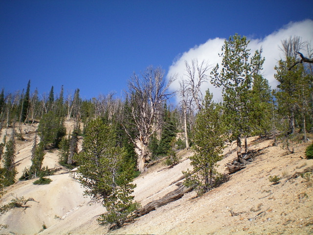
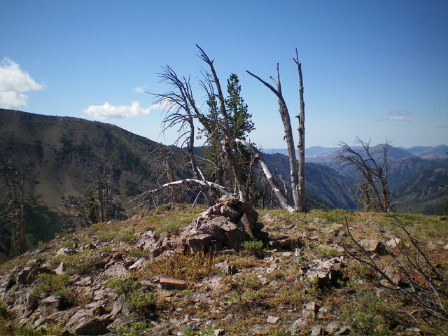
From the 8,860-foot pass that connects Peak 9365 to Peak 10096, bushwhack northwest up through a short patch of thick pines to reach more open terrain (scattered pines, scrub, and gravel). Follow a ridge/shoulder (one of a few) that ascends west in loose, white gravel directly to the summit. The summit has a decent cairn and is in open terrain. There is no doubt that this is the high point.
Descent Back to the Bear Canyon Trailhead, Class 2
From the summit, return to the 8,860-foot pass. From the pass, follow FST-043 north-northeast down through a thick pine forest and across Bear Creek. There is an unsigned junction (of sorts) here. Head right/east up a use trail that leads to a flattish area and a junction (of sorts) with the Bear Canyon Trail. Follow this well-beaten trail south then southeast down Bear Canyon to a crossing of Bear Creek. The trail then heads right/southwest up over a shoulder to reach the signed junction with Copper Creek Trail. Go left/east here to continue down the Bear Canyon Trail to the trailhead.
Additional Resources
Regions: EASTERN IDAHO->Pioneer Mountains
Mountain Range: Pioneer Mountains
Longitude: -113.9971 Latitude: 43.7427


