Elevation: 9,461 ft
Prominence: 281

This peak is not in the book. Published December 2024
Peak 9461 and its two neighbors (Peak 9621 and Peak 9477) sit atop a high ridgeline that separates Greylock Creek from Eightmile Creek in the Eastern Salmon River Mountains. It is most easily climbed from Yankee Fork Road/FSR-070 to its southeast. Peak 9461 is seldom climbed. USGS Custer
Access
From ID-75 at Sunbeam, drive north up [signed] Yankee Fork Road/FSR-070. At 8.3 miles, reach a signed junction with Loon Creek Road/FSR-172. Continue northeast on Yankee Fork Road. Reset your odometer at this junction. At 2.9 miles, reach the signed junction with Fourth of July Creek Road/FSR-073. At 3.2 miles, reach the Custer Campground (left). At 4.0 miles, reach the [signed] Fivemile Creek trailhead (FST-161).
At 4.6 miles, cross to the west side of the Yankee Fork of the Salmon River on a bridge. At 4.9 miles, cross Greylock Creek on a bridge. Park in a small pullout on the north side of Greylock Creek. This pullout is at 6,805 feet and 44⁰24’45”N, 114⁰38’27”W. This is the first leg of a 3-peak adventure that includes Peak 9461, Peak 9621, and Peak 9477. It covers 9.0 miles with 4,150 feet of elevation gain round trip.
Southeast Ridge, Class 2
The Climb
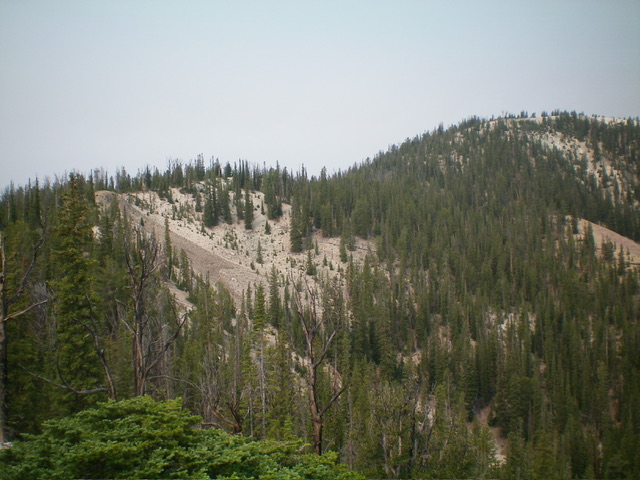
There is no trail heading up Greylock Creek. The drainage is thick with forest, brush, and blowdown and is not a good idea for climbing up Peak 9461. Instead, avoid the Greylock Creek drainage and climb the southeast ridge. From the parking pullout, bushwhack north-northwest up through a thick pine forest to quickly reach an open, grassy, flat area on the right/north side of Greylock Creek. Head right-ish/north up a forested shoulder that soon bends left-ish/north-northwest and reaches an open hump at 8280+ on a short east-west spur ridge.
From here, head northwest back into the thick pine forest and bash through lots of blowdown (initially). Climb northwest in semi-open forest to a merger with a ridge that heads right/northeast. Go left/west here and battle with ridge pines/blowdown, with thick forest below the ridge crest and to the left/south. Stay on the right/north side of the ridge crest in angled gravel/sand to skirt the many downed trees on the ridge. There is a minor 25-foot drop along the way into an easy gully to skirt a patch of narrow, thickly-forested ridge crest and reach a final saddle. The ridge curls right-ish/northeast to reach the mostly-open summit of Peak 9461. There were no signs of previous ascent, so I built a modest cairn on the high point.

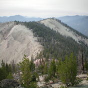
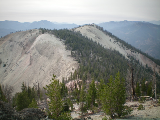
Peak 9461 (summit is at far right) and its southeast ridge (skyline left of center). This was my ascent route. Livingston Douglas Photo
Northwest Ridge, Class 2
The Descent
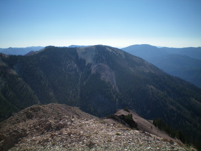
From the summit, head north along the open ridge crest of white gravel/sand and ascend 30-40 vertical feet to skirt Point 9400+ (the lower, north summit hump). Descend white gravel/sand in open terrain to an open saddle with forest nearby to the west. This is the 9,180-foot connecting saddle with Peak 9621. It concludes the first leg of today’s 3-peak journey. Peak 9621 is up next.
Additional Resources
Regions: Eastern Salmon River Mountains->Salmon River Mountains->Southeast Corner Peaks->WESTERN IDAHO
Mountain Range: Eastern Salmon River Mountains
Longitude: -114.6600 Latitude: 44.4295

