Elevation: 9,483 ft
Prominence: 663

This peak is not in the book. Published December 2024
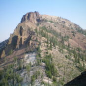
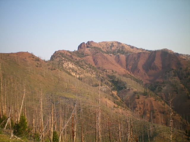
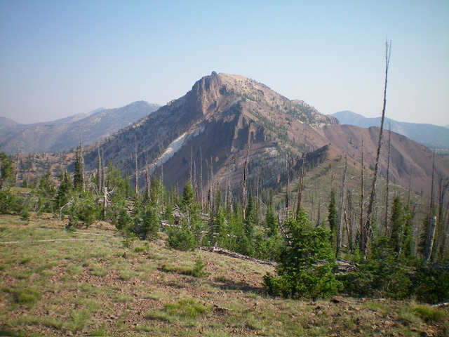
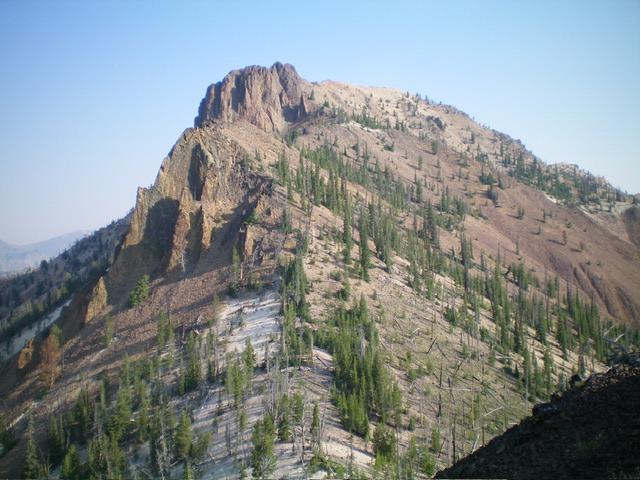
Peak 9483 is a beautiful, rocky summit on the west side of Loon Creek Road that is overlooked by many since it lacks a trail to the top. Access on its northeast side is blocked by the active mining operation at the Sunbeam Mine. However, it can be climbed from its southeast side without any difficulties. USGS Mount Jordan
Access
From Yankee Fork Road/FSR-070, drive north up Loon Creek Road/FSR-172. At 2.5 miles, reach a nice, large pullout on the right/east side of the road after passing a narrow, wet drainage on the left/west side of the road and a sharp right bend in the road. Park here (6,760 feet and 44⁰24’48”N, 114⁰44’11”W). This is the first leg of a 2-peak adventure that includes Peak 9483 and Peak 8961. It covers 5.5 miles with 3,350 feet of elevation gain round trip.
East Shoulder/South Ridge, Class 2+
The Climb
From the roadside pullout, walk about 100 feet up the road then scramble west up a steep slope of gravel and short scrub to reach a ridge crest that bends right-ish. This forested slope is semi-open and lacks much blowdown. Once on the ridge, follow it westward. It merges into another forested ridge heading left-ish. This ridge soon ends and pushes you right-ish onto a final ridge crest. Follow this [initially] steep ridge as it heads west-southwest to reach gentle, flat, blowdown-strewn Point 8160+.
Head west then northwest from this point down to a saddle that is littered with blowdown. From the saddle, climb northwest up an obvious, open shoulder of grass/scrub and scattered pines (which soon disappear). This shoulder leads up to the high, rocky north-south ridge crest about 100 yards south of Point 8828. Scramble north up the rocky (but easy), narrow ridge crest to Point 8828. From this gentle ridge hump, descend easy scree/gravel northwest to a gravelly saddle/notch in the ridge.
From this saddle, follow goat trails (with numerous goat beds) on or near the ridge crest (on its right/east side) in endless talus and scree with some ridge pines early on. Higher up, skirt the right/east side of a few massive ridge towers on angled, loose scree. Goat trails help navigate this unforgiving terrain. Once past the towers, return to the narrow ridge crest and climb it through talus and many rocky ridge outcrops to reach the summit hump. There is a final 20-foot drop just before reaching the summit.
The high point is the first hump and is not the gentle bump to the north-northeast on the high ridge (which is 10 feet lower based on my investigation of it). The high point had a survey stick but no summit cairn so I built a nice one and stuck a large rock post in it. There is a large hunter’s cairn on the south ridge, only about 30-40 vertical feet below the high point. Why it’s there, I’m not really sure.

Peak 9483 as viewed from the southeast. The south ridge is the skyline left of center. Livingston Douglas Photo
Additional Resources
Regions: Eastern Salmon River Mountains->Salmon River Mountains->Southeast Corner Peaks->WESTERN IDAHO
Mountain Range: Eastern Salmon River Mountains
Longitude: -114.7617 Latitude: 44.4235

