Elevation: 9,513 ft
Prominence: 533

This peak is not in the book. Published November 2024
Peak 9513 is the southernmost of three ranked summits (Peak 9287, Peak 9597, and Peak 9513) that sit on a high ridge that separates Burnt Creek from the Pahsimeroi River. It is most easily climbed from Burnt Creek Road to its east. USGS Burnt Creek
Access
Burnt Creek Road (BLM-140) is located along Donkey Hills Road exactly 1.5 miles northwest of Short Creek Road (see Access Section for Pia Soko Katete). The signed junction of Burnt Creek Road and Donkey Hills Road is at 44⁰13’32”N and 113⁰38’18”W. Drive southwest then south on [signed] Burnt Creek Road (a decent 2-track road) to a stream crossing and a side drainage at 3.7 miles. Continue 1.8 miles south on Burnt Creek Road (which is now much rockier and rougher) to an unsigned junction on a bluff at the fork in the canyon. Park here (8,050 feet and 44⁰09’08”N, 113⁰38’07”W). The final section of Burnt Creek Road has some steep sections and two narrow gullies to cross. A 4WD vehicle with high clearance is required.
East Ridge, Class 2
The Climb
From the road junction, walk just over 0.1 miles southwest on the West Fork Burnt Creek Jeep Road to its crest. Leave the road and bushwhack right/west up onto a nearby bench. Continue west and descend about 15-20 feet to cross the sagebrush-clogged head of a gully that heads right/northeast. Scramble west then northwest up through thick-ish sagebrush to a forested sub-ridge.
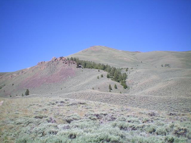
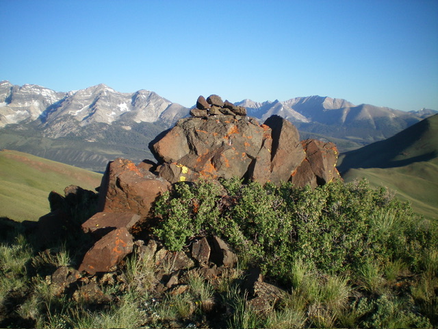
Follow this ridge west then southwest, skirting the right/northwest side of a rocky ridge outcrop. Quickly reach open scrub and the base of the rounded east ridge proper. Scramble west up the ridge in scrub (initially) then shale, staying left/south of a scree field and rocky outcrop midway up. The ground terrain becomes much looser and rockier as you ascend. The summit is a large protruding boulder which had no cairn so I built one atop it. The ridge rock and scree patches were reasonable on the ascent but were very loose on the descent.

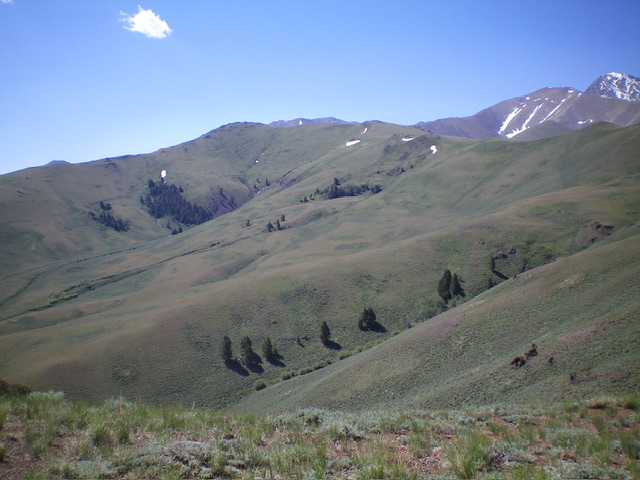
Peak 9513 (in mid-ground) and its meandering connecting ridge with Peak 9597. The summit is left of center. Livingston Douglas Photo
Additional Resources
Regions: EASTERN IDAHO->Lost River Range
Mountain Range: Lost River Range
Longitude: -113.6536 Latitude: 44.1506

