Elevation: 9,531 ft
Prominence: 351

This peak is not in the book. Published November 2024
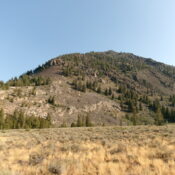
Peak 9531 sits above the convergence of Big Fall Creek and Summit Creek. It towers over [popular] Trail Creek Road to its southeast. The southeast side of Peak 9531 is daunting. The easiest way to the summit is via its southwest ridge, which is easily accessible from Trail Creek Road. USGS Phi Kappa Mountain
Access
Park on a side road that leads to a dispersed campsite on the north side of Trail Creek Road. This side road is located 0.6 miles up from the [signed] Phi Kappa Campground and 0.4 miles below the [signed] Big Fall Creek Spur Road. There is a large pullout/loop on this side road near its junction with Trail Creek Road. This pullout is at 7,510 feet and 43⁰51’20”N, 114⁰13’32”W.
Southwest Ridge, Class 3
The Climb
From the parking pullout, bushwhack north-northwest across a flat field of grass and sagebrush to reach an old 2-track road on the right/northeast edge of a forested area at the base of the east side of the southwest ridge. Follow this road briefly then scramble up steep, loose granite gravel and scrub using diagonal game/use trails to reach the crest of the rocky southwest ridge through a gap in the granite face rock.
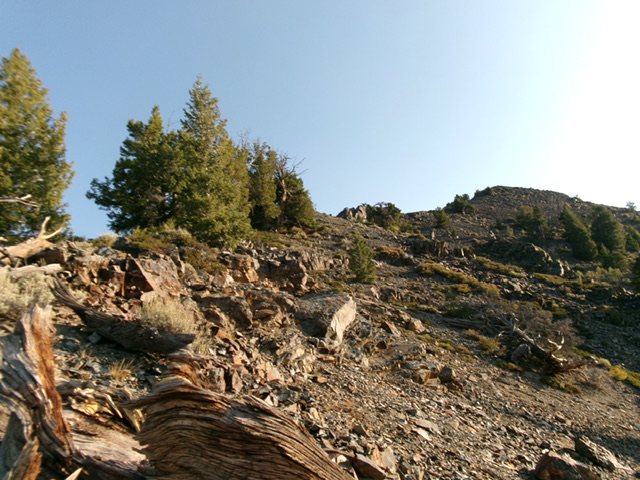
Once on the ridge, scramble right/north up the rock-and-scrub of the semi-open, forested ridge to reach the crux of this climb—a steep, lengthy slope of loose scree below a massive ridge buttress. This buttress is very visible from Trail Creek Road. Stay on the right/east side of this scree field and use a few scattered pines to gain some traction. Higher up, move left/west and use the rock at the base of the buttress to advance higher and regain the ridge crest at about 8,330 feet.
The ridge is much easier now and is mostly pine forest with a good gravel/pine duff base. There are two patches of reasonably-stable talus slopes to cross amidst the forested terrain. When the forest ends, climb loose, steep ridge rock and scree. The ridge bends right-ish/northeast to aim directly at the summit. Higher up, a series of ridge towers appears (Baugher’s “coxcomb”). This ridge section is knife-edged and goes at Class 3. It may be possible to skirt the towers on their right/east side on loose, angled scree to keep this section at Class 2.
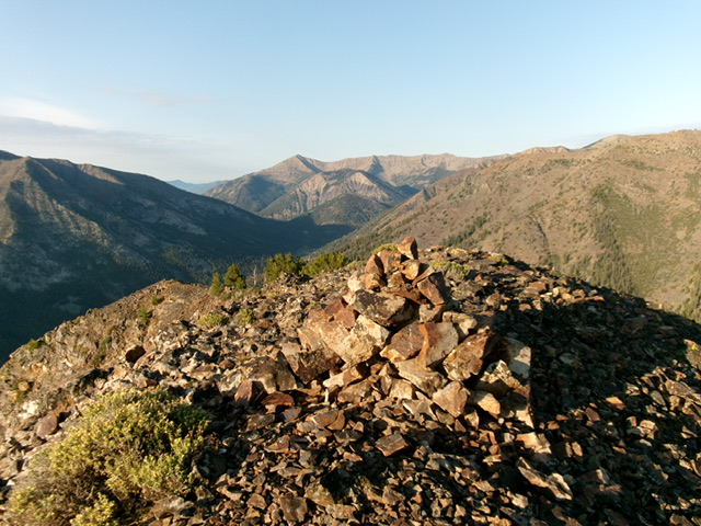
Once past the ridge towers, scramble up easy ridge rock and stable talus/scree to the cairned summit. There is a nice view of the rugged east side of Peak 10300 from high on the southwest ridge. While one climber recommends calling this peak “Mount Starter” because it a good peak for beginners, I totally disagree. This peak would discourage beginners from ever climbing another Idaho peak because of its steep, loose scree/gravel, the ridge towers that must be dealt with, and the route-finding necessary on the descent due to ridge wiggles and forested terrain that cuts off visuals.
Additional Resources
Regions: Boulder Mountains->EASTERN IDAHO
Mountain Range: Boulder Mountains
Longitude: -114.2207 Latitude: 43.8697


